 by
by Western Mexico – Hurricane Priscilla lashed western Mexico on Monday, unleashing heavy rain, strong winds, and dangerous surf along the coastal regions and the Baja California peninsula. As the storm churned off the coast with sustained winds reaching 85 mph, authorities responded quickly to minimize impact and protect residents.
Immediate Impact and Safety Measures
The National Hurricane Center issued a tropical storm watch for Baja California Sur from Cabo San Lucas to Cabo San Lazaro, highlighting the storm’s proximity and potential threat. Located about 205 miles west-southwest of Cabo Corrientes, Priscilla brought life-threatening surf conditions and rip currents to the coastal areas.
In anticipation of severe conditions, the government of Baja California Sur took proactive steps by canceling classes across all educational centers in Los Cabos and La Paz starting Tuesday. Additionally, authorities established a dozen shelters in Los Cabos to aid residents in vulnerable zones.
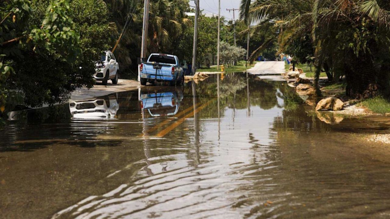
- Heavy rains from Priscilla’s outer bands could bring up to 4 inches of rainfall through Wednesday.
- Flash flooding risks were notably high in Michoacán and Colima states.
- The hurricane was predicted to intensify to a Category 2 storm before weakening.
Dangerous Surf and Rainfall Threats
The storm’s swells reached the Mexican coast, creating hazardous sea conditions. Forecasters warned of life-threatening surf and rip currents that posed significant risks for coastal communities and marine activities.
“Swells from Priscilla were reaching the coast with life-threatening surf and rip currents,” the weather service stated.
For more details, see the full advisory from NBC News here.
Concurrent Tropical Activity
Near Hurricane Priscilla, Tropical Storm Octave was weakening around 840 miles southwest of southern Baja California. With winds at 50 mph, Octave showed no threat to land and was expected to dissipate within a few days. No watches or warnings were active for this storm.
Read Also: Storm Alert for Kentucky–Ohio Valley: Early Tuesday Thunderstorms Before Fall Cooldown
Looking Ahead: Preparedness and Safety
Authorities continue monitoring Priscilla’s path and intensity closely, urging residents to stay alert and follow safety instructions. The upcoming days remain critical for southwestern Mexico as the storm passes through, with precautions focused on flood prevention and public safety.
Key recommendations include:
- Staying indoors and avoiding coastal areas with dangerous surf.
- Utilizing the provided shelters if living in flood-prone zones.
- Monitoring official weather updates and adhering to government advisories.
What Do You Think?
With the storm’s impact unfolding, what are your preparations or experiences with Hurricane Priscilla? Share your thoughts and safety tips in the comments below to help our community stay informed and prepared.