 by
by San Francisco, CA – A series of powerful storms moving inland from the Pacific Ocean are forecast to deliver substantial rainfall and mountain snowfall to the western United States in the coming days, marking the most significant winter-like weather since early last spring. These conditions are expected to cause travel disruptions and increase risks of flash flooding, especially across the interior Southwest.
The storms herald a notable shift in the weather pattern, bringing colder temperatures and wet conditions from the coastal Northwest to California and mountain regions stretching into Montana and Wyoming.
Storm Impact Spanning the Northwest to the Rockies
Beginning Friday, the first storm impacted the coastal Northwest, bringing mostly rain from western Washington through northwestern California. While not a blockbuster event, it stands out as one of the most widespread rain-producing systems of this fall season.
Further inland, the storm is producing several inches of snow across the Rocky Mountains, notably in Montana and Wyoming. Key points include:
- Accumulating 6-12 inches of snow in the Teton Range near Yellowstone National Park.
- Snow melting on roads at higher elevations but considerable buildup expected in grassy and wooded areas.
- The storm strengthening northeastwards into southern Saskatchewan and west-central Manitoba, where blizzard conditions and hazardous travel are forecast from Sunday to Monday.
“This series of storms marks the most significant mountain snow and rain event we’ve seen in the western U.S. since early spring,” said a meteorologist following the developments.
Tropical Connections and Flash Flooding Concerns
Next week, a new Pacific storm is set to move farther south. It will interact with tropical moisture from Tropical Storms Priscilla and Raymond, funneling significant moisture into the Southwest. This convergence could lead to:
- Areas of flash flooding independently caused by each tropical storm.
- Potentially disastrous flooding if moisture from both storms overlaps in communities.
Travelers and residents are advised to monitor local weather updates closely due to these heightened risks.
Read Also: Hurricane Priscilla Strikes Western Mexico with Heavy Rain, Strong Winds, and Risk of Flooding
California Braces for Rain, Snow, and Cooler Temperatures
The second Pacific storm is projected to bring heavy rain and mountain snow to much of California from Monday into Tuesday. Highlights include:
- Rainfall that may surpass San Francisco’s total since April 2, currently at only 0.36 inches.
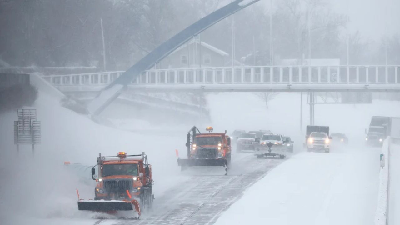
- Several inches of slushy snow expected at Donner Pass, with over a foot accumulating in the higher elevations of the Sierra Nevada, Siskiyou, and Oregon Cascades.
- Temperature drops bringing highs from the 70s down to the 60s (°F) in low-lying areas of Northern California and the Southern California coast.
- Gusty coastal and mountain winds combined with heavy seas causing rough surf along the coastline.
These details and continuous updates are available through the UPI weather coverage.
Preparing for the Storms Ahead
With challenging driving conditions expected—wet highways at lower elevations and icy, snowy passes in the mountains—authorities urge caution during travel. Key recommendations include:
- Checking road conditions before heading out.
- Being alert to flash flood warnings, especially in the interior Southwest.
- Preparing for sudden temperature drops and storm-related disruptions.
“Residents in affected regions should stay informed and heed weather alerts to stay safe during these potent Pacific storms,” weather experts advise.
What’s Next?
The upcoming week promises to be dynamic with winter-like weather stretching over multiple western states. As these storms evolve, their impacts on travel, safety, and local communities will continue to develop.
What do you think about this significant Pacific storm pattern? Share your thoughts in the comments below!