 by
by Bismarck, N.D. – A powerful surge of strong winds and a sharp drop in temperatures have hit northern and central North Dakota, signaling the arrival of the season’s first widespread hard freeze. Overnight gusts reaching near 50 mph have rattled roads and power lines, while temperatures are predicted to fall into the mid-20s by the early hours of Monday.
This rapid shift to late-fall conditions has prompted weather warnings and precautionary advisories across several counties, affecting residents, farmers, and travelers as the state adjusts to chillier weather.
The Impact of Powerful Winds and Sharp Temperature Drop
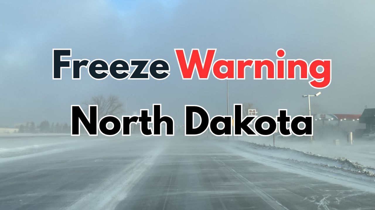
The National Weather Service in Bismarck has issued a Wind Advisory in effect until midnight CDT, followed by a Freeze Warning extending through 10 a.m. Monday. This advisory covers a broad swath from Divide and Williams counties eastward through Ward, McHenry, and Pierce counties, including major towns such as Minot, Rugby, and Williston.
Winds blowing at 30 mph, with gusts near 50 mph, are creating hazardous driving conditions on open highways like U.S. 2 and U.S. 52, posing particular challenges for high-profile vehicles. As a cold high-pressure system settles over North Dakota, these gusty conditions are expected to calm after midnight.
Read Also: Severe Flooding Hits South Florida Amid Heavy Rainstorms; Dry Weather Expected by Weekend
Freezing Temperatures Threaten Crops and Outdoor Vegetation
Temperatures will quickly plunge overnight, bringing widespread frost and freeze conditions that threaten unharvested crops and sensitive outdoor plants. Residents are strongly advised to take protective measures such as:
- Bringing pets indoors
- Covering late-season plants
- Disconnecting outdoor hoses to prevent pipe freezing
Foster County, which includes Carrington, remains under the same Wind Advisory until midnight. Following the cold morning start on Monday, weather will remain chilly and calm, with minimal warming expected throughout the afternoon.
Preparing for a Cold, Breezy Start to the Week
This weather event marks a decisive transition to colder late-fall conditions across the northern Plains. Both agricultural communities and daily commuters are urged to stay attentive to weather updates and prepare adequately for the cold and breezy start to the week.
“These early freeze conditions can severely impact crops not yet harvested, as well as unprotected vegetation,” said a National Weather Service representative. “Taking preventive action now can help mitigate damage.”
For more detailed updates, visit the full weather advisory at Country Herald.
What do you think about this cold snap and strong wind event? Share your thoughts in the comments below!