 by
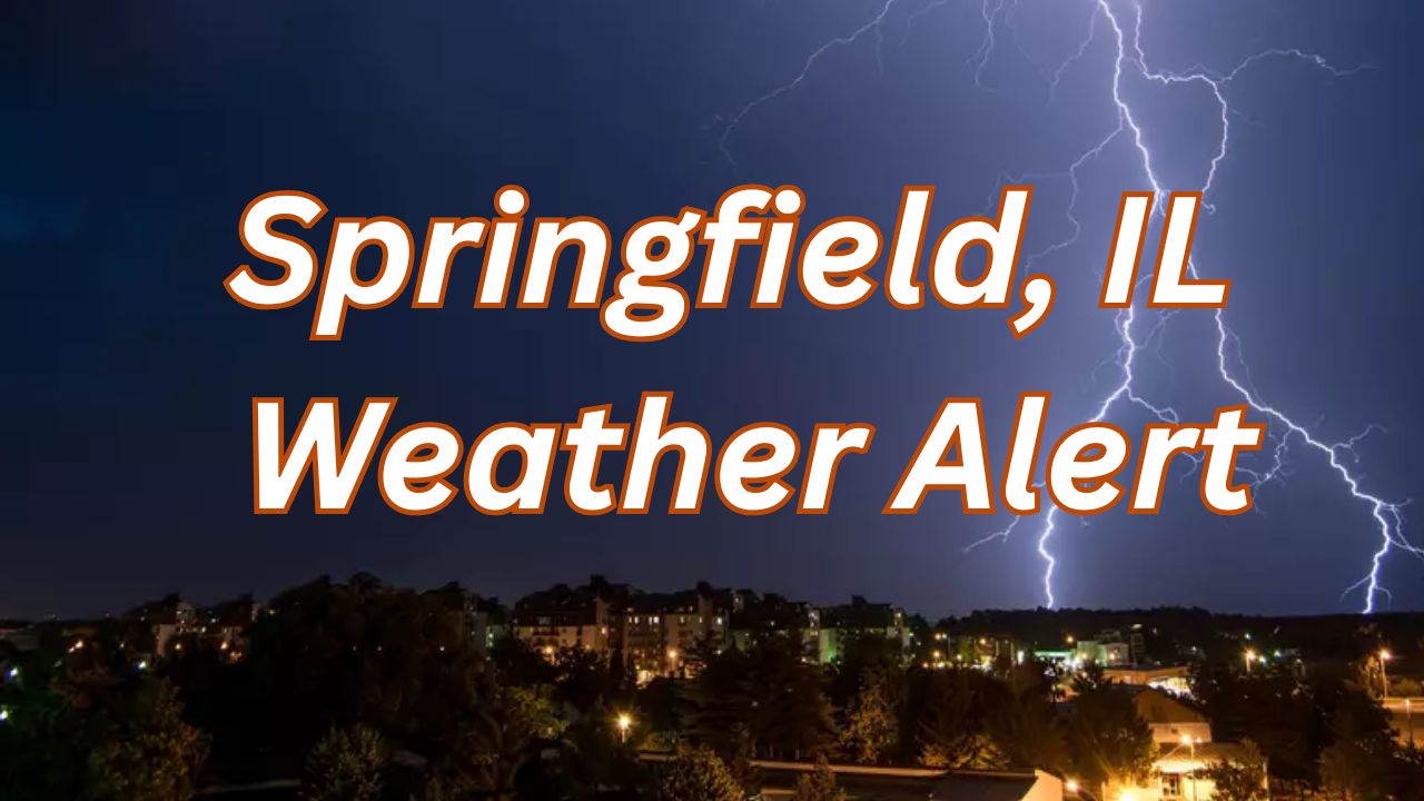
by Springfield, IL – Residents of Central Illinois are bracing for a week marked by cooler nights, mild afternoons, and a significant increase in rain chances beginning Monday night through Thursday. Forecasters have highlighted two rounds of rain that could impact daily routines and commutes across the region.
The National Weather Service has detailed a forecast featuring fluctuating temperatures with nighttime lows dipping into the 20s and daytime highs hovering around the 50s and 60s. Expect mostly quiet weather early in the week before showers become more frequent and widespread.
The Early Week Weather Overview: Cool Nights and Mild Days
Monday evening starts with seasonably cool temperatures ranging from 25 to 31°F under mostly clear skies. Daytime highs on Monday will reach between 51 and 57°F, with the possibility of late-day showers as the atmosphere becomes increasingly moist.
By Tuesday, rain chances will significantly increase, with showers likely occurring during the day. The National Weather Service projects a 60–80% chance of rain with highs between 50 and 65°F.
- Overnight lows: 25–31°F Monday night
- Monday highs: 51–57°F with late showers possible
- Tuesday rain chance: 60–80%
- Tuesday highs: 50–65°F
Midweek Weather Dynamics and Rainfall Impact
Wednesday provides a brief respite from the rain, although the sky will remain mostly cloudy with highs in the lower to mid-60s. Overnight temperatures will stay cool, between the upper 30s and upper 40s, typical for mid-November conditions.
However, the relief will be short-lived as another round of moisture arrives Wednesday night into Thursday, bringing a similar 60–80% chance of rain and daytime highs ranging from 60 to 65°F.
“While current forecasts indicate these systems are not severe, they could still cause some minor disruptions, especially during morning and early evening commutes,” said a meteorologist from the National Weather Service in Central Illinois.
- Wednesday highs: Lower to mid-60s, mostly cloudy
- Wednesday night lows: Upper 30s to upper 40s
- Thursday rain chance: 60–80%
- Thursday highs: 60–65°F
Community Guidance and Preparedness
Forecasters advise that despite the absence of severe weather, repeated light rain could cause minor ponding on roads and impact travel. Residents in Sangamon County and surrounding areas should stay vigilant and consult the latest updates throughout the week to accommodate any shifts in rainfall timing or intensity.
For detailed weather updates, you can visit the original report at Country Herald.
Looking Ahead
The week’s weather pattern emphasizes the transition into cooler and wetter conditions typical for November in Central Illinois. Residents should prepare for increased rain and adjust outdoor plans accordingly.
What do you think about this weather forecast? Share your thoughts and preparations for the week in the comments below!