 by
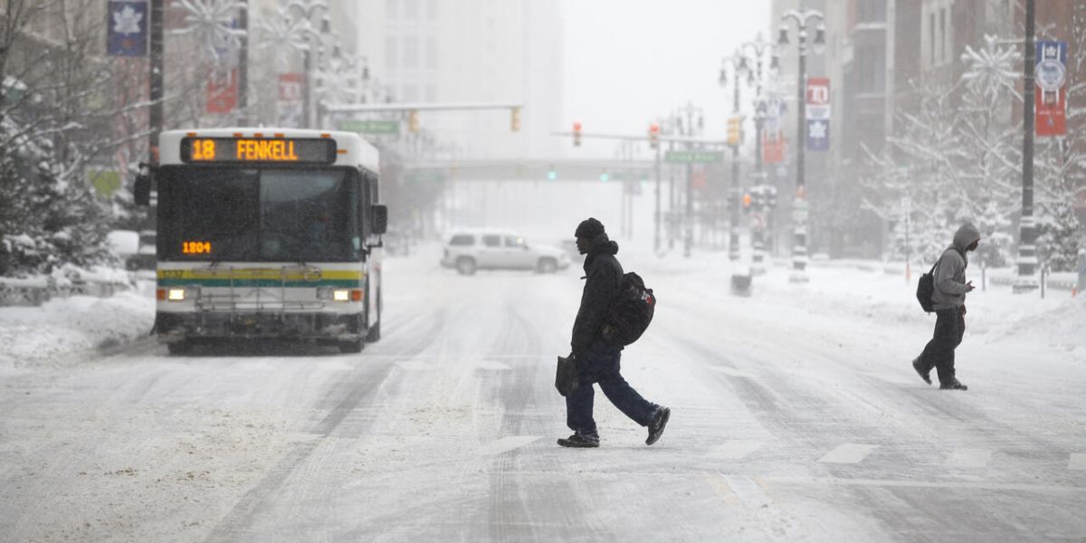
by Chicago, Illinois — Chicagoans are preparing for a weekend of dangerously cold temperatures as bitter Arctic air settles over the region. After a relatively quiet Thursday with highs in the mid to upper 20s, the forecast points toward extreme cold, wind chills, and scattered snow in parts of northeastern Illinois.
Thursday Recap: Mostly Cloudy and Calm
Thursday brought mostly cloudy skies across Chicagoland, with daytime highs reaching the mid to upper 20s. While the day was uneventful, a low-pressure system moving southwest of the region could deliver light snow overnight. Counties such as LaSalle, Grundy, and Kankakee may experience a dusting, but most areas will see a quiet night under cloud cover.
Friday: Slight Snow Chance Before Arctic Air Arrives
Friday is expected to remain mostly cloudy, with a small chance for scattered snow showers. Morning temperatures will start in the low 20s and climb to near 30 degrees in the afternoon. However, Friday night marks the arrival of extremely cold Arctic air, with lows dropping into the single digits across the region.
Saturday: Snow and Dangerously Cold Wind Chills
Another storm system will move nearby on Saturday, bringing a chance of snow mainly south of Interstate 80. Daytime highs will struggle to reach 10 to 15 degrees, with wind chills hovering between -5 and -10 degrees, creating dangerous conditions for anyone outdoors.
Saturday Night Into Sunday: Bitter Cold and Wind Chill Alerts
The cold intensifies Saturday night into Sunday, with temperatures falling below zero across nearly all of Chicagoland. Wind chills are expected to plunge as low as -15 to -25 degrees, prompting forecasters to anticipate a Cold Weather Advisory from the National Weather Service for the dangerous weekend conditions.
Sunday will remain frigid, with highs barely reaching 10 degrees and wind chills never climbing above zero. Officials warn that prolonged exposure could lead to frostbite, and residents — especially those attending outdoor events like Bears games — should take precautions.
Milder Weather Returns Next Week
After surviving the extreme cold, temperatures are forecast to gradually rebound. By Monday, highs will return to the 20s, rising into the 30s on Tuesday, near 40 on Wednesday, and potentially reaching close to 50 degrees by Thursday, bringing relief from the Arctic blast.
How Are You Preparing?
Will you brave the weekend’s Arctic blast, or are you planning to stay indoors until the warmer temperatures return?
Share your winter survival tips, wind chill experiences, and local updates in the comments below!