 by
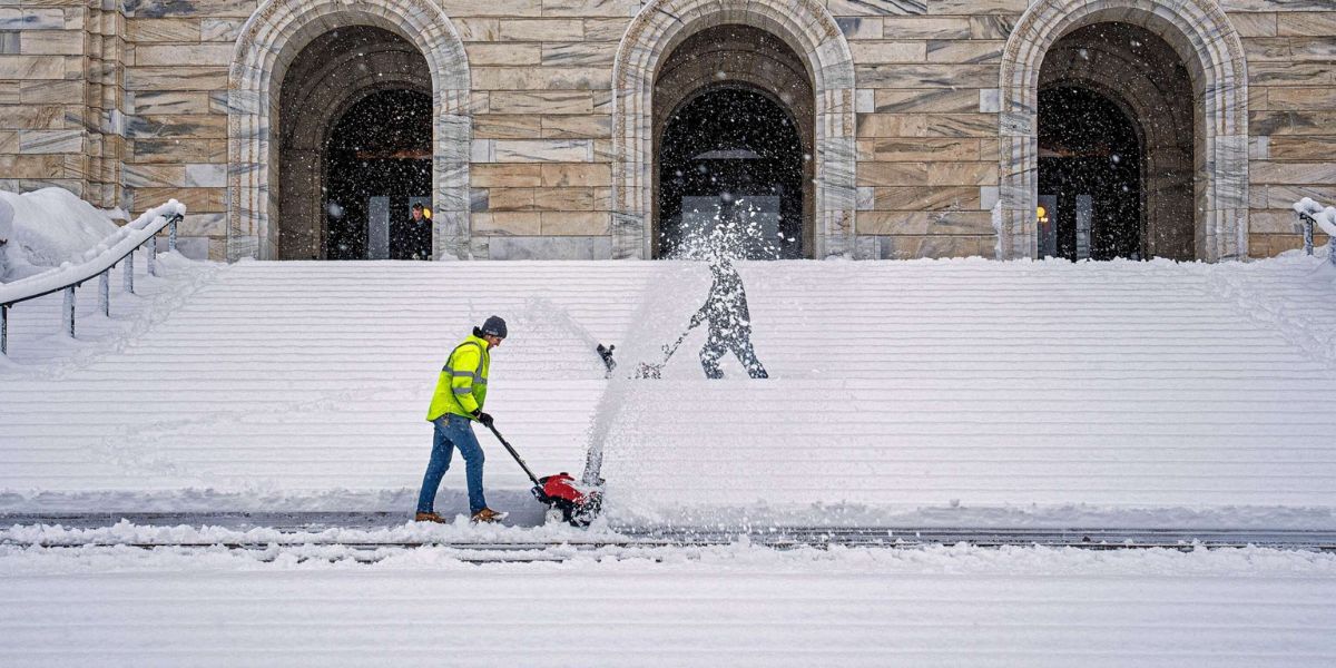
by Bangor, Maine – Residents across Maine are bracing for a dramatic shift in weather as cold Canadian air pours into the region following the departure of a snow-producing low-pressure system that impacted Southern Maine and much of New England.
While skies are beginning to clear, the cold and wind left behind will create dangerous wind chills, rough coastal conditions, and a week marked by rapid temperature swings.
Snow System Exits, Cold Air Moves In
Meteorologists say the storm system responsible for recent snowfall is steadily moving out of the area. In its wake, a tightening pressure gradient and an influx of Arctic air are setting the stage for a much colder pattern across the state.
As skies partially clear Sunday night, temperatures are expected to plunge. Overnight lows will range from the low single digits to the upper teens, depending on location. While much of Maine will see clearing skies, Northern Maine may hold onto more cloud cover, with the chance for a few flurries.
Bitter Wind Chills by Monday Morning
The combination of frigid temperatures and strong northwest winds will make conditions feel even colder by Monday morning. Gusts of 25 to 30 mph overnight are expected to drive wind chills into the single digits below zero, with some areas experiencing “feels-like” temperatures in the -10s by sunrise.
Officials urge residents to take precautions by wearing extra layers, covering exposed skin, and allowing vehicles additional time to warm up before traveling. These conditions can be dangerous for anyone spending extended time outdoors.
Cold and Breezy Monday With Sunshine
Despite the cold start, Monday will bring a return of sunshine for much of the state. However, the sunshine will do little to warm things up. Daytime highs are forecast to range from the low teens to the mid-20s, keeping temperatures well below seasonal averages.
Skies will be partly to mostly sunny, though communities along the Canadian border may experience more persistent cloud cover. Northwest winds will remain strong, sustained at 10 to 20 mph, with gusts reaching 25 to 35 mph.
Along the coast, hazardous marine conditions have prompted the issuance of a Gale Warning, as strong winds create dangerous conditions for boaters.
Slight Warm-Up Arrives Tuesday
Conditions are expected to quiet down slightly on Tuesday, with winds easing and temperatures ticking upward. Highs will range from the low 20s to low 30s, offering modest relief from the early-week cold.
Skies will be partly to mostly sunny for much of the state, though areas in the northwest may remain mostly to completely cloudy. Winds will shift to the west-southwest, with gusts generally staying between 15 and 20 mph.
Above-Average Temperatures Midweek
A noticeable warming trend is expected by Wednesday and Thursday, as above-average temperatures move into the region. Highs will climb into the 30s statewide, with low 40s possible along the coast.
Wednesday is expected to be mostly cloudy, with snow showers possible in Northern Maine. Winds will strengthen again from the southwest, with gusts reaching 25 to 35 mph. Conditions begin to dry out Thursday, with more breaks in the clouds and slightly lighter winds.
Rain Returns Late Week
By Thursday night, Maine faces its next significant weather system. Rain is expected to overspread the state Thursday night into Friday, as temperatures surge into the 40s for most areas.
Forecasters note that a rain-snow mix or light snow is possible late Friday afternoon in northwestern Maine, as colder air filters back in. Winds will also increase, with southwest gusts of 30 to 40 mph, potentially impacting travel and power.
Weekend Cooldown and Next System
A cooldown is expected to begin on Saturday, bringing cooler temperatures and returning sunshine early in the day. However, another system could arrive by Saturday night into Sunday, with the potential for both rain and snow across parts of the state.
Meteorologists stress that residents should stay alert as conditions continue to evolve rapidly.
What do you think about Maine’s wild weather swings this week? How are you preparing for the cold, wind, and rain ahead? Share your thoughts in the comments below and join the conversation.