 by
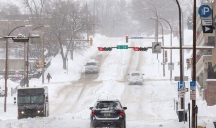
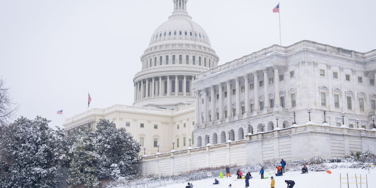
by Washington, D.C. – Snow swept across the Washington, D.C. metropolitan area early Sunday morning, leaving behind a patchwork of snowfall totals as a winter storm continued to move through the Mid-Atlantic. New reports released by the National Weather Service (NWS) show significant differences in accumulation across Maryland, Virginia, and the District of Columbia, with some communities seeing only a dusting while others were buried under nearly a foot of snow.
As the storm progressed, meteorologists warned that hazardous travel conditions would persist, especially in areas with heavier snowfall and freezing temperatures.
Snowfall Expands Across the DMV
According to NWS spotter reports collected over an eight-hour period, snow steadily accumulated across the DMV region, impacting millions of residents along the busy I-95 corridor.
In Washington, D.C., no official snowfall total was listed at the time of the report. However, snow was actively falling across the city throughout the morning, coating roads, sidewalks, and vehicles as conditions continued to deteriorate.
Western Maryland Buried Under Heavy Snow
The most dramatic snowfall totals were reported in Western Maryland, where colder air and higher elevations allowed snow to pile up quickly.
- Accident, Garrett County: 10.0 inches
- Grantsville: 8.0 inches
- Mount Savage: 2.8 inches
Officials say these areas experienced near-whiteout conditions at times, making travel extremely dangerous and prompting drivers to stay off the roads unless absolutely necessary.
Baltimore Region Sees Moderate Accumulations
Communities surrounding Baltimore recorded several inches of snow, enough to significantly impact travel and daily activities.
- Bentley Springs (Baltimore County): 4.0 inches
- Woodstock: 3.3 inches
- Glyndon: 3.0 inches
- Rosedale: 2.5 inches
- Owings Mills: 1.8 inches
Road crews across the region worked through the morning to treat highways and secondary roads as snowfall continued.
Carroll and Montgomery Counties Report Several Inches
Snowfall totals in Carroll County and Montgomery County ranged from moderate to heavy, depending on location.
- Westminster (multiple locations): 3.0 to 4.5 inches
- Eldersburg: 4.0 inches
- Damascus: 4.0 inches
- Gaithersburg: 1.5 inches
Residents in these areas reported snow-covered roads and reduced visibility, particularly during the early morning hours.
Mixed Totals Across Central and Northern Maryland
Other parts of Maryland saw varying accumulations as the storm moved through:
Howard and Harford Counties
- Dayton: 2.5 inches
- Chrome Hill: 5.0 inches
- Churchville: 2.5 inches
Cecil and Frederick Counties
- Elkton: 2.5 inches
- Ballenger Creek: 2.0 inches
- New Market: 0.8 inches
Allegany County
- Potomac Park: 1.3 inches
Northern Virginia Sees Lighter Snow
Snowfall totals dropped significantly moving south into Northern Virginia, where warmer air limited accumulation.
- Winchester (Frederick County): 0.5 inches
- Dulles International Airport: 0.5 inches
- Leesburg: 0.1 inches
- Elkton (Rockingham County): 0.5 inches
While totals were lower, freezing temperatures still created slick conditions on untreated roads and bridges.
By the Numbers: Key Snowfall Highlights
- Highest total so far: 10 inches in Accident, Maryland
- Other notable totals: 8 inches in Grantsville, 5 inches in Chrome Hill
- D.C. metro suburbs: Generally 1 to 4 inches
- Northern Virginia: Mostly under 1 inch
According to FOX Weather, millions of people along the I-95 corridor, including the D.C. metro area, were impacted by accumulating snow and freezing temperatures as the storm continued.
What Happens Next?
Snow was expected to continue across parts of the region through the morning, with additional accumulation possible in some locations. Officials warned that road conditions remain hazardous, especially on secondary roads and less-traveled routes.
Drivers are urged to slow down, allow extra travel time, and avoid unnecessary trips as highway crews continue treating roadways.
Residents are also advised to monitor local forecasts, as changing temperatures could lead to refreezing later in the day.
How much snow did you get where you live? Did this storm impact your travel plans today? Share your snowfall totals and experiences in the comments below and join the conversation.