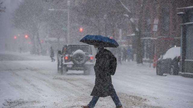
United States – After weeks of frequent clippers and coastal storms across the eastern U.S., a much larger winter weather system is now taking shape in the West, with the potential to impact a wide stretch of the country. Meteorologists say the developing storm could bring widespread rain and thunderstorms to the South while also creating the risk of significant snowfall across northern states, depending on how the system evolves.
According to the FOX Forecast Center, an upper-level disturbance is forming and is expected to move out of Baja California into the Southwest or Southern Plains beginning Friday and continuing into the weekend.
Developing System Moves Into the Southern U.S.
As the disturbance advances eastward, forecasters expect a low-pressure system to develop over the Southern U.S. Once established, it is likely to track toward the Southeast, triggering widespread rain and thunderstorms across parts of Texas, the Gulf Coast, and the Southeast.
Cities such as Charleston, South Carolina, could see periods of heavy rainfall as the storm strengthens. Meteorologists note that the interaction between this system and existing weather patterns will determine whether rain or snow becomes the dominant impact.
Two Possible Storm Scenarios
Forecasters are currently monitoring two main scenarios, each with very different outcomes for the country.
In the first scenario, the low-pressure system remains confined to the South and does not move northward. In this case, the storm would track across the Gulf Coast states and then move offshore near the Southeast coast. This would keep it separated from the colder air locked in across northern regions, resulting in more rain than snow, with little to no snowfall in the North.
In the second scenario, the low-pressure system strengthens more aggressively and pushes northward into the Mid-Atlantic and possibly the Northeast. If this happens, the storm could track near the coastline after emerging near the Carolinas, allowing it to tap into colder air and potentially generate a significant snowstorm for parts of the northern and northeastern U.S.
Forecast Uncertainty Remains High
At this stage, forecasters caution that it is still too early to determine which scenario is more likely. Small shifts in the storm’s track or intensity could have major implications for snowfall totals and rainfall amounts across multiple regions.
Meteorologists say confidence will increase as the system moves onshore and becomes better sampled by weather models later this week.
Pattern Change Expected Early Next Week
Looking ahead to early next week, a large dip in the jet stream is forecast to stall over the western U.S. This setup is expected to promote an area of high pressure over the East, reversing the stormy pattern that has dominated much of the past month.
When this happens, storms will be more likely to develop in the West, strengthen as they cross the central U.S., and then move eastward. However, forecasters warn that if the high-pressure system becomes too strong, it could force storms northward into Canada instead of allowing them to impact the Midwest and Northeast.
Increased Risk for Snow and Severe Weather
If the high-pressure system weakens or shifts farther south, stronger storms could track through the Midwest and Northeast, raising the potential for snowfall in northern states. At the same time, warmer air and instability in the South could increase the risk of severe thunderstorms, particularly across the Southeast.
An area of high pressure over the Southeast is expected to draw in warmer, more humid air, creating favorable conditions for stronger storms as systems move east.
Meteorologists stress that this evolving pattern will need close monitoring, as it has the potential to bring high-impact weather to multiple regions of the country over the coming days.


 by
by 

