 by
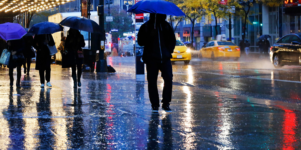
by NEW YORK — After a soggy start to the week, rainy conditions are expected to persist across the New York City area into Thursday, bringing with them the potential for heavy downpours and localized flooding.
Residents across the five boroughs and neighboring parts of New Jersey woke up Wednesday to overcast skies and intermittent showers, which gradually intensified through the afternoon. The dreary weather was accompanied by unseasonably cool temperatures, with highs barely climbing out of the 50s.
Thursday Remains a First Alert Weather Day
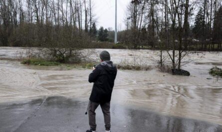
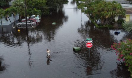
Meteorologists have issued another First Alert Weather Day for Thursday, as heavier bands of rain move eastward through the region. Forecasters warn that periods of intense rainfall could lead to water pooling on roads, making for hazardous driving conditions during the morning and evening commutes. Urban areas and low-lying neighborhoods should stay alert for possible flash flooding.
Winds are also expected to pick up slightly, adding to the overall damp and chilly feel.
Gradual Improvement Heading Into Friday
The storm system responsible for the unsettled weather is forecast to move offshore by Friday, allowing for a partial clearing. While a few stray showers may still linger, the worst of the wet weather should be behind us.
Temperatures on Friday are anticipated to start recovering, inching closer to seasonal averages, though a full return to spring-like warmth may not come until later in the weekend.
Drying Out for Memorial Day Weekend
Looking ahead, the outlook for Memorial Day weekend appears far more promising. Skies are expected to clear steadily through Saturday, with sunshine making a more consistent appearance by Sunday. Daytime highs will climb into the upper 60s and low 70s, offering more comfortable conditions for outdoor gatherings, parades, and travel plans.
While an isolated shower can’t be ruled out completely, the trend is toward drier and milder weather—welcome news for holiday revelers.
Tips for Staying Safe During the Rain
Authorities are advising residents to monitor weather updates, especially during periods of heavy rain. Drivers should reduce speeds on wet roads and avoid driving through flooded areas. Pedestrians are urged to be cautious when walking near construction sites or areas prone to poor drainage.
As always, check local forecasts and transit updates before heading out, particularly during morning and evening rush hours.
In Summary
- Wednesday saw steady rainfall and chillier-than-average temperatures.
- Thursday could bring heavier showers and possible flooding.
- Friday offers a chance for clearing, with improved but still unsettled weather.
- Memorial Day weekend looks largely dry and pleasant, with warmer temperatures on the way.
Stay safe and dry—brighter skies are just around the corner.