 by
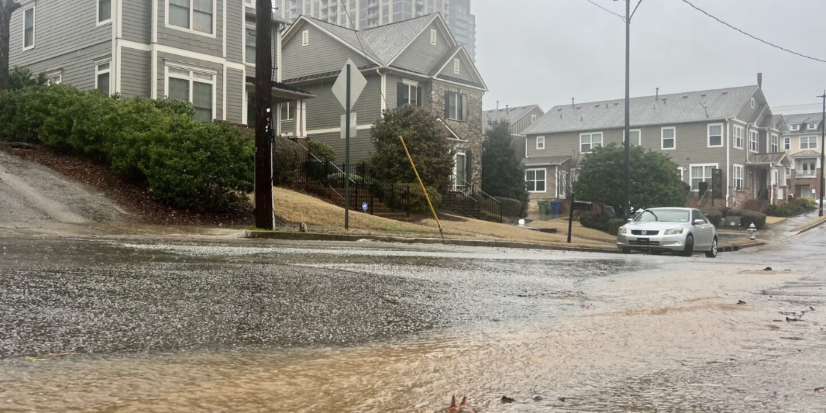
by Flash flood warnings were sent out across metro Atlanta on Friday evening because of a series of strong thunderstorms. The National Weather Service sent out multiple alerts for dangerous conditions because the heavy rain overflowed ditches, roads, and drainage systems.
Heavy rains in metro Atlanta
In parts of Fulton, DeKalb, Clayton, Cobb, Cherokee, Forsyth, and nearby counties, it rained between one and four inches. In some places, it rained up to three inches per hour. More rain was expected to make the floods worse until late Friday night.
At least four different flash flood warnings were sent out by the National Weather Service in Peachtree City for a large part of north and central Georgia.
Flash Flood Alerts
At 8:36 p.m., radar showed that south-central Fulton County and nearby places were getting a lot of rain. Flash flooding was already happening. Cities and towns like Atlanta, Decatur, East Point, Forest Park, College Park, Grant Park, Hartsfield-Jackson Airport, and Turner Field were all under a warning until 11:30 p.m.
“Life-threatening flash flooding of creeks and streams, urban areas, highways, streets and underpasses is either ongoing or expected to begin shortly,” it said. A lot of creeks and rivers were also on the list as being at risk. These included Peachtree Creek, South River, Camp Creek, and the Chattahoochee River.
At 7:47 p.m., a separate flash flood warning was sent out for parts of Bartow, Cherokee, and Paulding counties, as well as Cobb County. It was to last until 10:45 p.m. There had already been 1 to 3 inches of rain from the storm, and maps showed that it would get even worse.
At 7:40 p.m., there was another warning for parts of Clayton, Cobb, DeKalb, Fulton, and Gwinnett counties. It was expected to rain more than 3 inches, with an estimate of 1 to 3 inches. In that warning, places like downtown Atlanta, Roswell, Alpharetta, Duluth, and Peachtree Corners were listed, along with a large group of creeks and drainage systems that were under a lot of stress.
At 7:04 p.m., the fourth flash flood warning was sent out for Cherokee, Forsyth, northeastern Fulton, and some parts of Hall County. It rained up to 3 inches, and more was on the way. Towns like Canton, Cumming, Roswell, Buford, and Flowery Branch were in danger.
At 8:30 p.m., the National Weather Service also put out a special weather statement about strong storms that would hit Fayette, Fulton, Rockdale, Clayton, and DeKalb counties. Up to 50 mph winds, penny-sized hail, regular lightning, and heavy rain were all caused by the storms.
“Expect minor damage to tree limbs and light, loose objects to be blown around,” the statement said. “Heavy rain may cause temporary street flooding especially in poor drainage areas.”
Don’t drown, turn around.
The outbreak on Friday happened after a more general warning of bad weather for the whole area earlier that same day. Forecasters had said there was a small chance of severe thunderstorms with dangerous hail and wind gusts.
Storms delayed the game at Truist Park, where the Atlanta Braves and the Philadelphia Phillies are playing for first place in the National League East. Before the first ball was even thrown, the tarp was put out on the field.
At the same time, people at the Focused Health 250 at EchoPark Speedway in Hampton, which is about 40 miles south-southwest, had to leave because of bad weather.
The government told cars that they should never try to cross flooded roads. The weather service warned, “Turn around, don’t drown.” “Most flood deaths occur in vehicles.”
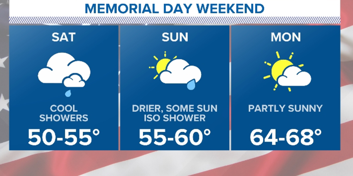
Atlanta weather for the weekend
The storms were expected to last through the weekend, and every day into next week, there would be a few scattered afternoon and evening storms.
Across Georgia this weekend, there may be a few showers, but the Fourth of July holiday is expected to be mostly dry and hot.
FOX 5 Storm Team meteorologist Doug Evans said Friday, “I don’t think we’ll see these overnight storms like we’ve had in the last few days.” “It’s going to be hot and humid though through the weekend.”
Evans also said that there will be a chance of rain every day until next week. Even though rains were possible, he made it clear that the weekend would not be a washout.
“Don’t let that 60% chance of showers and thunderstorms scare you,” he told us. “Where they happen, they could be severe in nature at times, but that’s not everybody who’s going to see some rain.”
Evans said that by midweek, a frontal system that might bring cooler weather could bring some relief.
Temperatures across the state were different Friday night, based on how much rain had fallen earlier. Evans said that it was 79 degrees in Rome, 73 degrees in Canton, and 82 degrees in Carrollton, which had also rained. Covington and Edenton stayed in the 1990s.
Around 10 p.m., rain showers were still predicted, and the lows for the night would drop into the upper 60s and low 70s.
Evanes said that the forecast for July 4 is “looking pretty good right now—hot and dry, just as we expect it could be, but the emphasis is on dry of course.”