 by
by Trenton, NC – With hurricane season in full swing from June to November, the National Weather Service (NWS) is taking proactive steps to prepare residents in Eastern North Carolina (ENC) for the months ahead. On Monday, the Jones County Civic Center hosted one of several upcoming hurricane preparedness forums, drawing close to 50 attendees.
Community Engagement in Jones County
The session, led by Erik Heden, Warning Coordination Meteorologist at the NWS Newport office, focused on readiness strategies, lessons from past storms, and the importance of understanding storm impacts beyond just category ratings.
“We are really ecstatic at the turnout tonight. We had almost 50 people here in Jones County,” Heden told WNCT News. “It certainly helps that we have Erin well out on the Atlantic. But just a reminder, the peak of the season is not until Sept. 10th. Now is really the time to prepare before the storm even gets here.”
Heden emphasized that while some residents have experienced hurricanes before, each storm presents unique dangers.
Moving Beyond the Category Number
Many people still base their preparation on a storm’s category rating, which primarily reflects wind speed. Heden cautioned against that approach, urging residents to focus more on the water-related dangers.
“One thing to remind all people, even if you’ve been through a storm, we can always get another one that impacts us differently,” Heden said. “A lot of people still focus on that category of the storm, and we’re trying to get people to focus on the impacts — water, water, water, flooding.”
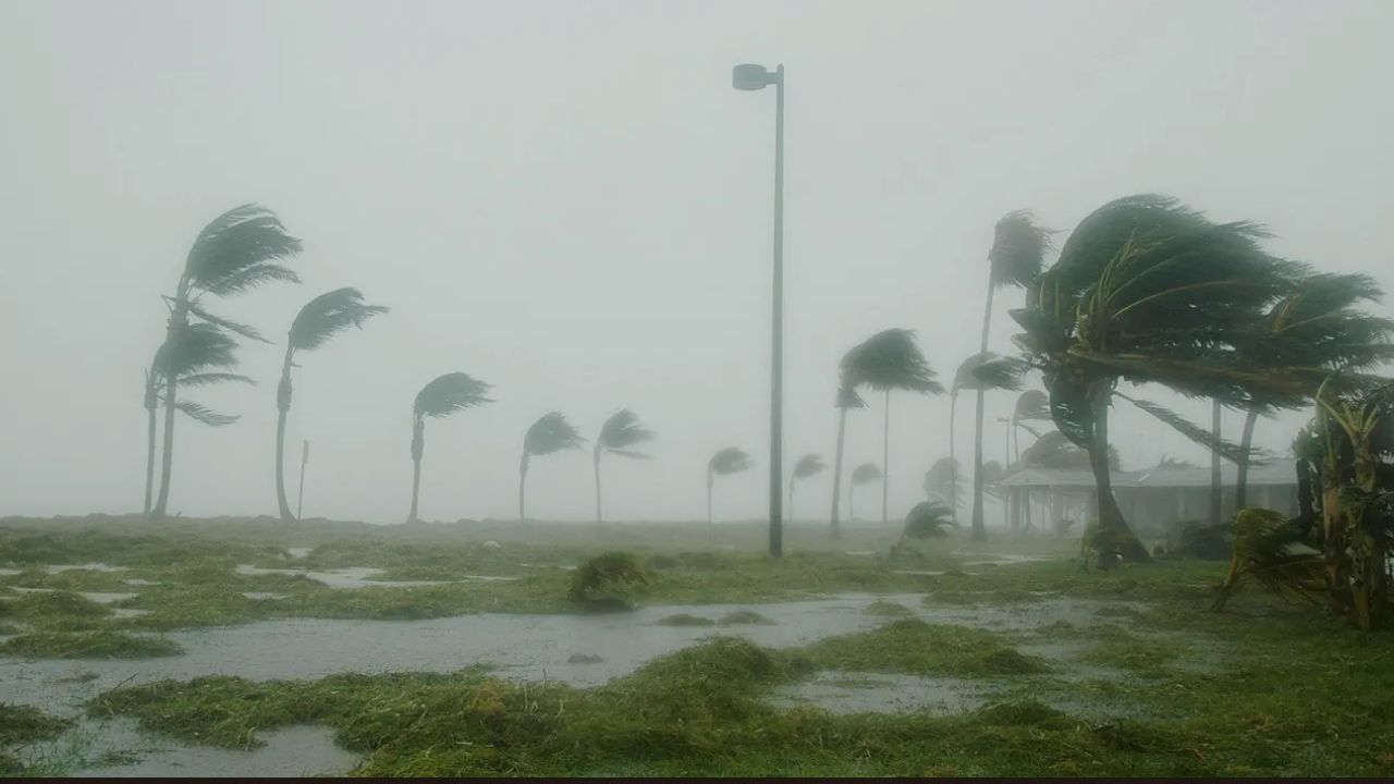
The event also highlighted recent flooding damage across ENC, reinforcing why this message is crucial for coastal and inland communities alike.
Resources and Upcoming Forums
For those unable to attend in person, the NWS is ensuring access to the same valuable information online.
“We’re recording these classes, so if they missed it, they can always check us out on YouTube,” Heden explained. “We have other classes coming up in Belhaven and hope to be in Kinston and Greenville here in September.”
These forums aim to help residents make personalized preparedness plans ahead of storms, covering topics from evacuation routes to securing property and ensuring adequate emergency supplies.
Multiple Ways to Receive Warnings
Another key point discussed was the importance of having more than one method of receiving emergency alerts.
“For hurricane season or really year-round, you need to have multiple ways to get warnings,” Heden advised. “If you have one of these cell phones, make sure you have it on at night. It’s not on Do Not Disturb, it’s charged up. That’s one good first step. Another good step is to have a NOAA weather radio — things that are going to wake you up in the middle of the night.”
These tools are not only essential for hurricanes but also for other severe weather events such as tornadoes and flash floods.
Preparing Ahead of Peak Season
The peak of hurricane season in the Atlantic is September 10, but storms can develop before or after that date. Residents across ENC are being urged to review their emergency kits, check their insurance coverage, and finalize evacuation plans now rather than waiting for an active storm threat.
The NWS’s message is clear: preparedness saves lives. Whether it’s making sure you can receive alerts during the night, understanding flood risks, or knowing where to go if evacuation orders are issued, taking these steps in advance can make all the difference when the next storm hits.
Have you attended a hurricane preparedness forum in your area? Share your experiences and readiness tips in the comments below, and visit ibwhsmag.com for more ENC weather updates and safety resources.