 by
by Chattanooga, TN – Heavy rain across southern Tennessee on Tuesday evening caused major flooding, leading to dozens of water rescues, the closure of a key interstate, and the opening of emergency shelters.
Rainfall Totals and Weather Conditions
The National Weather Service (NWS) reported that some areas around Chattanooga saw more than six inches of rainfall in just a short period, with more rain possible in the coming days.
The combination of moisture streaming north from the Gulf of Mexico and the hilly terrain of the southern Appalachian region created ideal conditions for heavy convection and flash flooding.
Emergency Response and Water Rescues
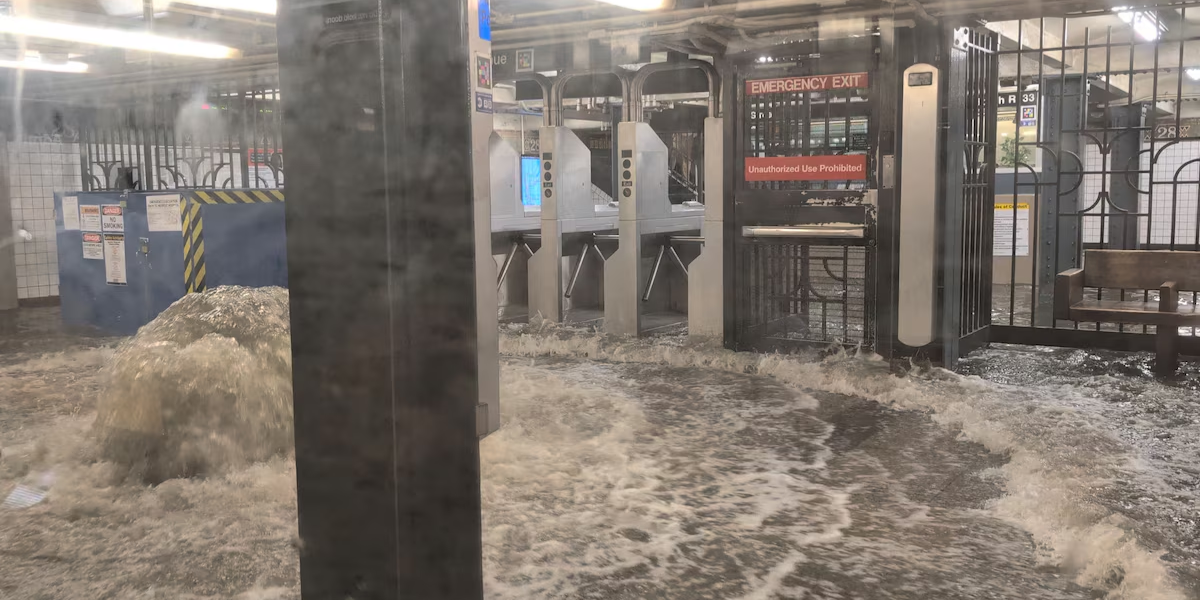
The Chattanooga Fire Department conducted numerous rescues, pulling stranded drivers from flooded vehicles and helping residents trapped in homes as water levels quickly rose. Officials said no injuries or missing persons had been reported as of Tuesday evening, but the potential for dangerous conditions remained high.
One of the most severe impacts was along Interstate 24 southeast of Chattanooga, where floodwaters several feet deep forced the closure of both directions. Emergency managers also opened at least one storm shelter at a local recreation center to assist residents displaced by the flooding.
Local and State Emergency Declarations
The Hamilton County mayor declared a local state of emergency, coordinating with the Tennessee governor and emergency management teams to assess damages. The declaration allows for rapid resource deployment and potential state or federal assistance.
Safety Warnings from Authorities
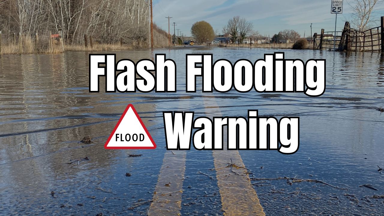
In their Flash Flood Warning bulletin, the NWS reiterated the life-threatening dangers of attempting to cross floodwaters:
“Turn around, don’t drown when encountering flooded roads. Most flood deaths occur in vehicles. Move to higher ground now. Act quickly to protect your life.”
Officials stressed that just six inches of moving water can knock an adult off their feet, while a foot of floodwater can cause most vehicles to stall—and even be swept away.
Why the Flooding Happened
Forecasters attributed the event to an abundant plume of tropical moisture interacting with the rugged topography of the southern Appalachians, which can intensify rainfall rates. This, combined with overwhelmed drainage systems, led to rapid water accumulation in low-lying and urban areas.
Broader Weather Pattern
According to the FOX Forecast Center, the storms that hit Tennessee were part of a larger unsettled weather pattern affecting much of the Southeast. Additional rainfall is expected through midweek before a drier air mass arrives.
Once the precipitation ends, temperatures in the Tennessee Valley are forecast to climb into the 90s, with heat indexes near 100 degrees.
Read Also: Heavy Rain and High Tide Trigger Flood Risk in Charleston, South Carolina
How to Stay Safe in Flash Floods
First responders are urging the public to take flooding threats seriously. Safety tips include:
- Avoid driving through flooded roads, especially at night when water depth is harder to judge.
- Seek higher ground immediately if you are in a flood-prone area.
- Keep an emergency kit with essential supplies in your vehicle and home.
- Pay attention to local alerts and weather warnings.
Community Impact and Recovery
As floodwaters recede, emergency crews will begin assessing infrastructure damage, clearing debris, and restoring safe travel routes. Residents affected by the flooding are encouraged to document property damage for insurance purposes and to contact local disaster assistance programs.
Community organizations and churches have begun mobilizing volunteers to assist with clean-up efforts, shelter support, and meal distribution for displaced residents.
Looking Ahead
With more rain in the forecast, officials warn that conditions could worsen before they improve. Residents are advised to remain vigilant, monitor weather updates, and avoid unnecessary travel until the situation stabilizes.
This event underscores how quickly severe weather can escalate in regions prone to flash flooding. Rapid coordination between local first responders, emergency management agencies, and community volunteers is critical in saving lives and minimizing damage.
Have you experienced flooding in your area or taken part in rescue and recovery efforts? Share your story at ibwhsmag.com to help spread awareness and safety tips that could protect others during extreme weather events.