 by
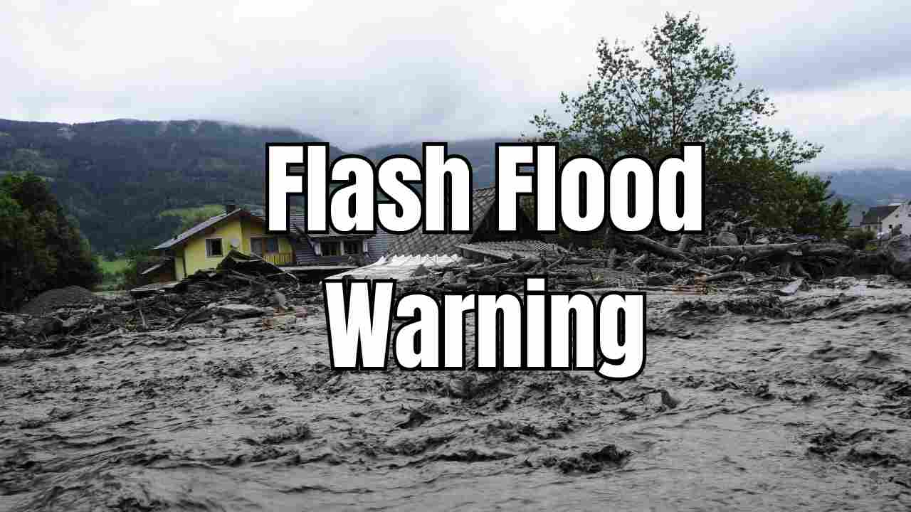
by Mount Holly, New Jersey — The National Weather Service (NWS) issued a flash flood warning at 6:54 p.m. Wednesday, Aug. 13, for Burlington County and surrounding areas, including Bucks, Montgomery, and Philadelphia counties. The alert came as intense thunderstorms moved through the region, bringing heavy rainfall and the risk of dangerous flooding.
The NWS warning urged residents to avoid driving on flooded roads, noting that “most flood deaths occur in vehicles.”
Heavy Rainfall Triggering Flood Concerns
According to courierpostonline, Doppler radar and automated rain gauges detected 0.5 to 1 inch of rain had already fallen by the time the warning was issued. Forecasters warned that rainfall rates could reach 1 to 2 inches per hour, with an additional 1 to 2 inches possible in the affected areas.
“Flash flooding is ongoing or expected to begin shortly,” meteorologists said in the alert.
What Is a Flash Flood?
The NWS defines a flash flood as a sudden flood caused by heavy or excessive rainfall in a short period—typically less than six hours. These floods are often accompanied by raging torrents that can appear with little warning, sweeping away vehicles, damaging structures, and endangering lives.
Flash floods can occur even in areas that are not directly experiencing rainfall, as runoff from higher elevations can quickly overwhelm streams and drainage systems.
Warning vs. Watch: Understanding the Difference
The NWS issues a flash flood warning when flooding is imminent or already occurring. People in flood-prone locations should move immediately to higher ground.
A flash flood watch, on the other hand, means that flooding is possible, but not yet certain. During a watch, residents should remain alert and be prepared to act quickly if conditions worsen.
Read Also: Kansas City Weekend Forecast: Heat and Humidity Make a Steamy Comeback
Safety Precautions During a Flash Flood
Meteorologists stress that quick action is essential during a flash flood warning. Safety recommendations from the NWS include:
- Evacuate immediately if instructed by authorities.
- Use a battery-powered radio or TV for the latest emergency updates.
- Avoid walking through floodwaters—just 6 inches of moving water can knock you off your feet.
- Never drive through flooded streets—2 feet of moving water can sweep away most vehicles and there may be unseen road damage beneath the surface.
- Turn around and find an alternate route if you encounter floodwaters.
- Move to higher ground as quickly as possible.
- Keep children away from flowing water, which can hide dangerous debris.
Local Impact and Potential Hazards
With rainfall rates this high, low-lying areas, small creeks, and urban streets are at particular risk. Flooding can also occur in basements, parking lots, and underpasses. Commuters in Burlington County and surrounding regions should expect road closures and traffic delays if floodwaters rise overnight.
The NWS and local emergency management officials advise residents to stay alert through weather notifications and to check real-time updates on conditions.
Looking Ahead
The heavy rain that triggered the warning is expected to continue into the evening before tapering off. However, even after the rain stops, flash flooding can persist as runoff flows into streams and rivers.
Forecasters will continue to monitor rainfall totals and water levels to determine if the warning needs to be extended or if additional advisories should be issued.
With Burlington County under a flash flood warning, residents are urged to remain vigilant and take all necessary precautions. Quick action can save lives, and avoiding flooded areas—whether on foot or by car—remains the most important safety rule.
Have you experienced flooding in your neighborhood tonight? Share your story and safety tips in the comments at ibwhsmag.com.