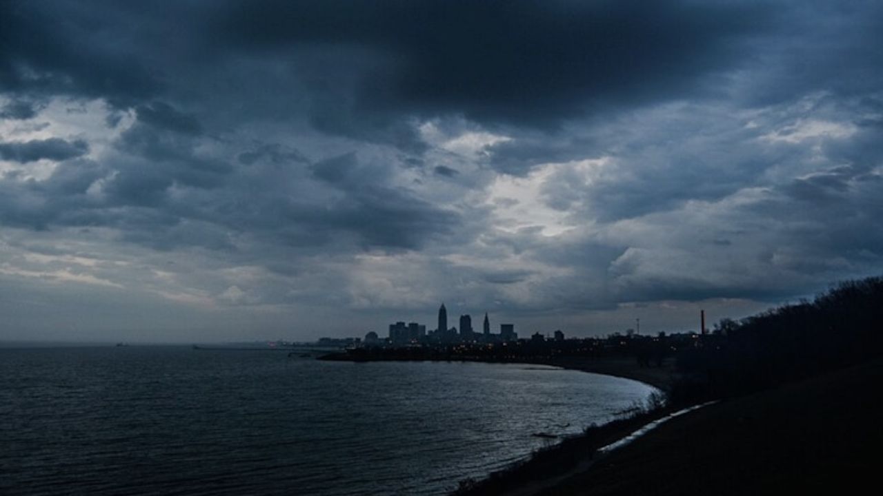
Pittsburgh, PA – Residents and commuters in southwestern Pennsylvania, eastern Ohio, and northern West Virginia should prepare for potentially damaging wind gusts as strong thunderstorms are forecasted to move across the region between 7 p.m. Friday night and 2 a.m. Saturday. The National Weather Service (NWS) in Pittsburgh has issued a Level 1 (Marginal Risk) warning signaling a possibility of isolated severe storms capable of causing damage.
The storms are anticipated to enter the area around 7 to 8 p.m., with the Pittsburgh metropolitan area most likely experiencing severe weather conditions between 9 and 10 p.m. Residents across a wide area—ranging from East Liverpool, Ohio to Morgantown, West Virginia, and including Washington and Westmoreland counties in Pennsylvania—are advised to stay vigilant and take necessary precautions to mitigate risks posed by strong winds.
Timing and Areas Most at Risk
The approaching thunderstorms are expected to unfold over several hours Friday night, bringing potentially hazardous conditions specifically impacting travel and property safety.
- Expected storm entry: 7 to 8 p.m. Friday evening
- Pittsburgh metro high-risk window: 9 to 10 p.m.
- Storm exit from the region: Early Saturday morning
The storm system could usher in damaging wind gusts, resulting in isolated tree damage, power outages, and slick road conditions across the affected tri-state region.
Read Also: Lorena’s Moisture Plume Brings Increased Flash Flood Risk to Desert Southwest and Texas
Safety Recommendations for Residents and Commuters
With the threat of severe weather looming, officials urge residents and those traveling Friday night to remain weather-aware. Key preparedness steps include:
- Secure outdoor furniture to prevent damage or injury
- Charge electronic devices to stay connected during possible power outages
- Avoid unnecessary driving while the storms are active, especially after dark
- Utilize multiple sources of weather warnings and updates for timely alerts
“This Level 1 Marginal Risk means there’s a low but notable chance of isolated severe storms with damaging winds,” said the National Weather Service in Pittsburgh. “Being cautious and prepared can help reduce risks during the stormy period Friday night.”
What to Expect Moving Forward
The thunderstorms are forecast to exit the region by early Saturday morning, but residents should stay alert as additional weather alerts might be issued if the situation worsens. This forecast highlights the importance of early preparation and vigilance in the face of unpredictable weather conditions.
For more detailed information and updates on the weather alert, visit the National Weather Service and local news resources, including the full briefing available here.
Stay Prepared and Stay Safe
As severe weather approaches, taking proactive steps can make a significant difference in personal safety and property protection. Keep an eye on weather updates, follow official guidance, and avoid unnecessary travel during the storm window.
What do you think about this upcoming weather threat? Have you experienced storm damage caused by severe winds before? Share your thoughts and preparations in the comments below!


 by
by 

