 by
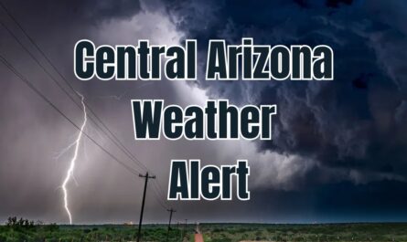
by Wichita, KS – Kansas residents should prepare for a significant change in weather this week as a cold front moves through the region, bringing a wave of rain and storms from late Tuesday through Friday. After a warm start to the week, the forecast indicates increasing storm chances that could impact travel and outdoor activities across central and southern Kansas.
Storms Expected to Develop Midweek
The US National Weather Service in Wichita forecasts a warm Monday and Tuesday, with daytime highs reaching the upper 80s to low 90s. However, this will change quickly as a cold front passes on Tuesday night, increasing chances for showers and thunderstorms. The most active weather is expected late Tuesday night into Wednesday, with storms likely affecting central, south-central, and southeast Kansas.
- Storm activity may continue through Thursday and Friday
- Rainfall amounts and storm severity currently remain uncertain
- Residents should be alert for possible localized flooding or strong storms
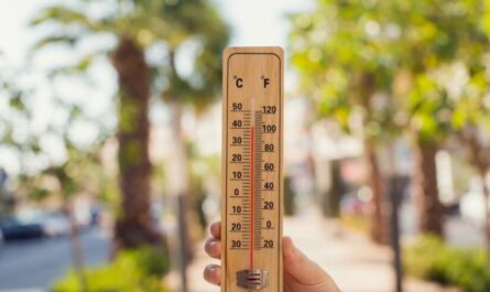
Temperature Drop Following Cold Front
Along with the increased precipitation, temperatures will drop significantly after the cold front moves in. Expect highs to fall from near 90 degrees early in the week to the mid-70s by Thursday and Friday. Overnight temperatures will cool as well, falling into the upper 50s to low 60s, providing relief from the early week warmth.
- Highs: Upper 80s to low 90s Monday-Tuesday; mid-70s Thursday-Friday
- Lows: Upper 50s to low 60s later in the week
Impact and Precautions for Residents
Kansas residents are urged to monitor weather updates closely as the situation unfolds. Forecasters warn of potential travel disruptions, especially during peak commute times from Tuesday night through Friday. Outdoor events might also be affected by the stormy conditions, and safety measures should be planned accordingly.
“The passage of the cold front will bring much needed cooling along with rain and storms that could affect a large part of Kansas through the end of the week,” said a representative from the US National Weather Service in Wichita. “Residents should stay informed and take precautions to stay safe during this period.”
For more detailed updates, residents can refer to the National Weather Service and local news sources such as the Country Herald.
What Residents Should Know
- Prepare for a potential shift from warm and dry to cooler and wetter weather starting Tuesday night
- Be cautious of travel conditions during peak commute hours midweek
- Monitor local weather updates regularly for storm warnings or advisories
- Have plans in place for outdoor events that could be impacted by rain or thunderstorms
What do you think about this week’s weather pattern? Have you experienced similar cold fronts in Kansas before? Share your thoughts and weather preparedness tips in the comments below!