 by
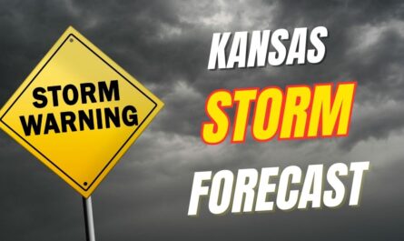
by The National Weather Service in Springfield warns that storms moving from Kansas will intensify over the weekend, impacting travel and outdoor activities across the region.
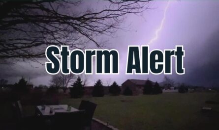
Storms Set to Impact Springfield and Surrounding Counties
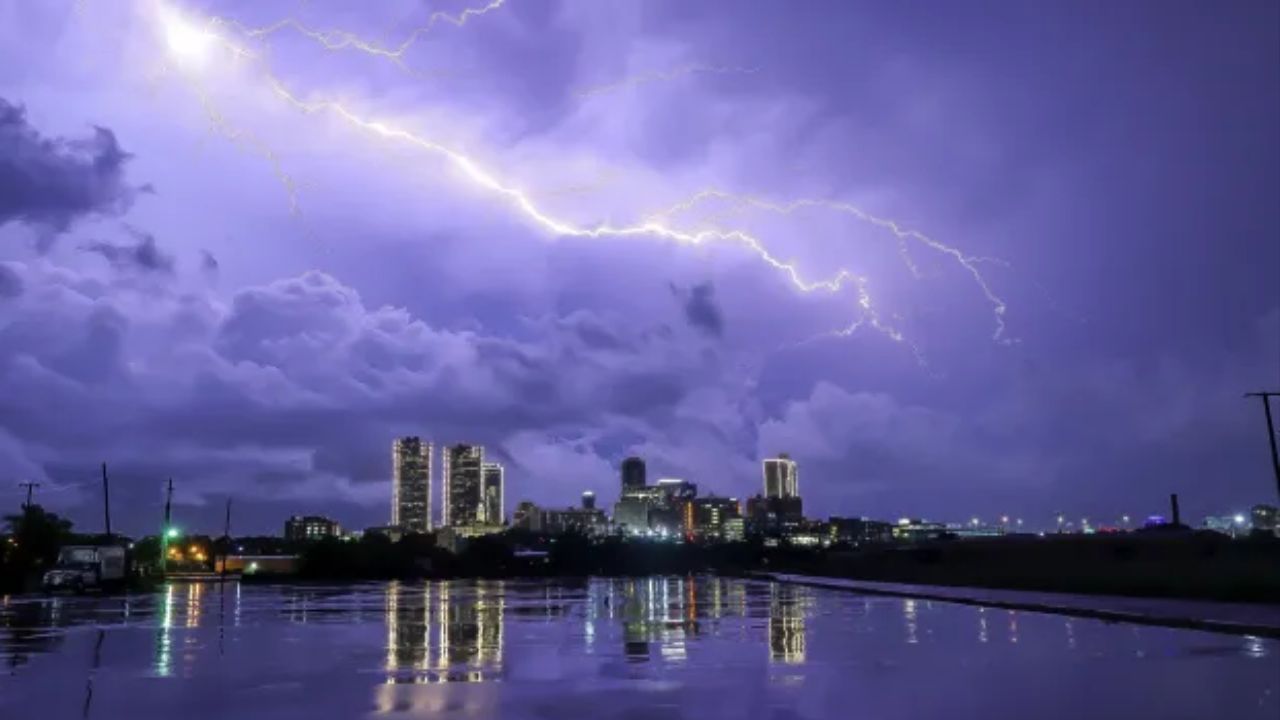
According to forecasts, the thunderstorms will affect counties such as Greene, Christian, and Webster with frequent lightning strikes and substantial rainfall. Motorists on I-44 should prepare for difficult driving conditions like reduced visibility and road ponding during downpours. Additionally, some storms may bring small hail, posing added risks for commuters and residents alike.
“The main threats include frequent lightning and rainfall totals high enough to cause localized flooding in low-lying and poor-drainage areas,” stated the National Weather Service in Springfield.
- Storms will strengthen Sunday and continue through Monday morning.
- High rainfall amounts could result in localized flooding.
- Small hail possible, increasing travel hazards.
- Dangerous lightning expected especially Sunday night into Monday morning.
Precautions and Local Impact
Community members are advised to take precautions as the severe weather approaches. Outdoor events such as football games and festivals may face delays or interruptions due to sudden thunderstorm activity. Emergency officials recommend residents:
- Avoid driving on flooded roads.
- Charge mobile devices ahead of potential power outages.
- Secure outdoor furniture and other items against gusty winds.
Nights will remain muggy with temperatures in the low to mid-60s, fueling ongoing storm activity. Daytime highs are expected to stay near 80°F before dipping in the mid-70s by midweek.
Forecast Outlook and Travel Advice
The most intense weather window is forecast for Sunday night into Monday morning, which could bring more widespread lightning and brief flooding. Commuters are encouraged to stay updated with latest advisories and anticipate possible delays for Monday morning travel.
Thunderstorm chances will begin to ease late Wednesday, with partly sunny skies returning by Thursday. However, more fall showers could continue into the weekend, maintaining unsettled conditions.
Residents should monitor official weather channels for possible warnings through Tuesday. For further details and updates, visit here.
Five-Day Weather Forecast Summary for Springfield
- Saturday Night: Storms likely with heavy rain, low near 65°F.
- Sunday: Thunderstorms likely, high near 82°F.
- Monday: Continued rain and storms, high near 81°F.
- Tuesday: Showers likely, high near 78°F.
- Wednesday: Partly cloudy with chance of showers, high near 75°F.
Don’t forget to stay weather-aware and prepare accordingly during this period of heavy rain and thunderstorms in Springfield.
What do you think about this weather alert? Have you experienced heavy rain or thunderstorms in Springfield? Share your stories and safety tips in the comments below!