 by
by DULUTH, WISCONSIN – A mix of dangerous heat and the potential for severe thunderstorms will dominate the weather across northwest Wisconsin and Pine County starting Friday afternoon, with forecasters issuing an Excessive Heat Watch and warning of storm risks late Friday night.
According to the National Weather Service, the region will see hot, humid conditions on Friday, followed by a chance of severe thunderstorms, especially west of U.S. Highway 169. After that, cooler, calmer weather is expected to settle in for the weekend.
Heat Index Could Hit 100° in Some Areas
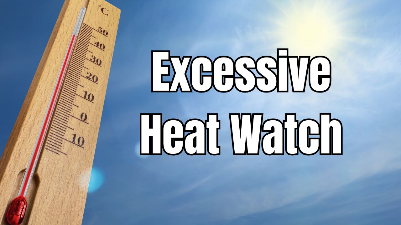
The Excessive Heat Watch issued for Pine County and parts of northwest Wisconsin will take effect Friday afternoon as heat indices climb to near 100°, especially in areas farther from Lake Superior.
“Friday will be hot and humid, with highs reaching the mid-to-upper 80s and heat index values potentially soaring into the triple digits,” forecasters said.
Southerly winds will push warm air across much of the region, except for areas directly along the North Shore, which will remain relatively cooler.
Morning thunderstorms may still be present in some parts of the region, but clearing skies in the afternoon will allow the heat to intensify.
Thunderstorm Risk Returns Friday Night
According to Northern News Now, as the day heats up, atmospheric conditions will become increasingly unstable heading into Friday evening. The forecast notes “diurnal heating” (warming during the day) will create an environment ripe for thunderstorms, but whether storms form will depend on whether they can overcome a cap — a layer of warm air aloft that can prevent storm development.
If storms break through the cap, a line of potentially severe storms may form, particularly in western areas near the Minnesota border.
The main threat will be damaging winds, and a Level 2 out of 5 severe weather risk is currently in effect for locations west of U.S. 169.
Heavy rain, frequent lightning, and brief hail cannot be ruled out in isolated storm cells. Residents with Friday night plans should stay alert to any weather warnings or watches issued by the NWS.
Read Also: Deadly Flash Flooding in the Carolinas Leaves 2 Dead, More Rain Expected
Weekend Weather: Cooler and More Comfortable
Relief from both the heat and the storm threat arrives over the weekend. Saturday will still be warm, but humidity will begin to fall, leading to much more comfortable weather by Sunday.
Forecast highlights:
- Saturday: Highs in the upper 70s to low 80s, with lower humidity and a few residual morning thunderstorms in some areas
- Sunday: Mostly dry and partly cloudy, with mild conditions across the board
The shift in the weather pattern is due to the passage of the cold front, which will help reduce moisture levels and stabilize the atmosphere over the upper Midwest.
Who’s Most At Risk From Friday’s Heat?
The Excessive Heat Watch is a serious advisory and should not be taken lightly. People most at risk include:
- Young children
- Older adults
- Those with chronic illnesses
- Outdoor workers or athletes practicing in the heat
- Individuals without access to air conditioning or shade
Heat exhaustion and heat stroke can occur quickly when heat index values exceed 90°, particularly with high humidity levels that reduce the body’s ability to cool itself.
The NWS advises people to stay hydrated, limit outdoor activity during peak heat hours, and check on vulnerable friends, family, and neighbors.
Be Prepared and Stay Informed
Whether you’re planning to attend an outdoor event, go camping, or simply run errands Friday evening, it’s essential to stay updated on weather alerts and have a plan in place.
- Charge phones and devices
- Know where to shelter if a storm hits
- Use NOAA radios, weather apps, or local alert services for updates
- Avoid strenuous outdoor work during the hottest part of the day
Are you taking steps to prepare for Friday’s heat and storms in Wisconsin? Share your tips and questions in the comments at ibwhsmag.com.