 by
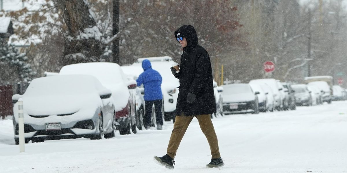
by Sioux Falls, South Dakota – Winter is tightening its grip once again as another fast-moving snow system targets the region over the next 24 hours, bringing accumulating snow, hazardous travel, and the coldest air of the season so far.
Forecasters say this latest clipper system will track from northwest to southeast, a familiar pattern that has delivered repeated snow events across the Upper Midwest in recent weeks. While snowfall amounts won’t be extreme, the combination of fresh snow and dangerously cold air will make conditions feel far more severe.
Snow Expected Tonight Into Saturday Morning
Snow is forecast to begin late Friday night, intensifying overnight and continuing into Saturday morning. Meteorologists expect most areas along the storm’s track to receive 1 to 3 inches of snow, with isolated totals reaching up to 4 inches in localized spots.
A Winter Weather Advisory has been issued for several counties along the snow path, signaling potentially slick roads, reduced visibility, and hazardous travel conditions—especially during the early morning hours.
This system mirrors recent clippers, moving quickly but packing enough moisture to cause problems for drivers and commuters.
Futurecast Shows Snow Ramping Up Overnight
Forecast models show snow coverage expanding steadily overnight, peaking during the early morning hours Saturday before tapering off later in the day.
While snowfall rates may not be intense for long periods, even light snow could create icy road conditions, particularly as temperatures continue to fall. Residents are urged to use caution if traveling overnight or early Saturday and allow extra time to reach their destinations.
Behind the snow system, Arctic air will surge into the region, sending temperatures plunging to extreme levels. By Saturday night into Sunday morning, temperatures will drop sharply, setting the stage for dangerous wind chills.
Forecast Highlights:
- Wind chills: -20s to -30s
- Sioux Falls low temperature Sunday morning: Around -22°F
- Coldest air of the season so far
At these levels, frostbite can occur in minutes, especially on exposed skin.
Extreme Wind Chills Raise Safety Concerns
Meteorologists are urging residents to prepare now for the incoming cold. With wind chills this severe, even short periods outdoors can be dangerous.
Safety officials recommend:
- Limiting time outside
- Wearing insulated layers, gloves, hats, and face coverings
- Ensuring pets are kept indoors
- Checking on elderly neighbors and those without adequate heating
Vehicle preparedness is also critical, as extreme cold can cause mechanical issues, and stranded motorists face heightened risks.
Light at the End of the Tunnel: A Warm-Up Ahead
Despite the brutal cold in the short term, forecasters say relief is on the horizon.
Looking ahead to next week, a significant warm-up is expected to sweep across parts of the region. In fact, Rapid City could see temperatures near 50 degrees by Sunday afternoon, signaling a dramatic shift away from the deep freeze.
While it will take longer to warm up, the overall pattern suggests winter may loosen its grip sooner rather than later.
What to Expect in the Next 48 Hours
- Snow: Begins late tonight, ends Saturday
- Accumulation: 1–3 inches, isolated 4 inches
- Cold: Intensifying Saturday night
- Wind chills: -20s to -30s by Sunday morning
- Travel impact: Slick roads, reduced visibility
Winter may not be done just yet, but warmer days are within reach. Until then, preparation and caution will be key as snow and extreme cold move through the region.
What are your plans as the snow and bitter cold arrive? Have you already started preparing? Share your thoughts and experiences in the comments below.