 by
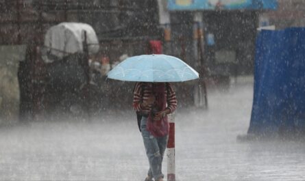
by Charleston, South Carolina is facing significant flooding concerns after heavy rainfall combined with a high tide pushed water levels above normal on Monday. The National Weather Service (NWS) issued a Flash Flood Watch for the downtown area as thunderstorms and persistent downpours moved through the region.
Flash Flooding Concerns and Immediate Impact
According to the NWS Charleston office, the combination of 1 to 2 inches of rain and high tide created the perfect conditions for urban flooding. “The primary concern is the combination of heavy rainfall and the concurrent high tide,” forecasters warned. “Watch out for flooded roads.”
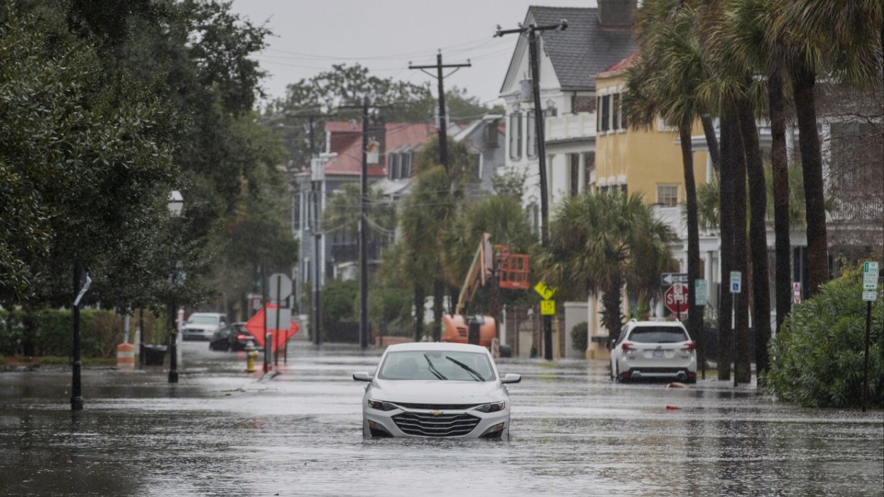
By early afternoon, reports indicated several streets in downtown Charleston were already under water, making travel dangerous. Officials urged residents to avoid driving unless absolutely necessary.
Emergency Services Shift to Modified Operations
The Charleston County Emergency Medical Services announced it had moved to modified operations due to rising floodwaters. “Our ambulances and supervisors are responding to calls for service as safely as conditions allow,” the department said in a Facebook update.
Under these modified operations, any patients requiring hospital care will be transported to the nearest appropriate medical facility rather than their preferred location, to reduce time spent on flooded roadways.
Officials stressed: “We encourage everyone to stay off the roads until floodwater recedes. If you encounter flooded roads, please don’t drive or wade through them.”
Road Closures and Stranded Vehicles
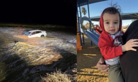
As rainfall intensified, reports emerged of multiple road closures across Charleston. Some vehicles became stranded after attempting to drive through floodwaters. Emergency responders reminded drivers that just 12 inches of moving water can sweep away a small car, and two feet can carry away larger vehicles like SUVs and trucks.
Residents are also being warned that floodwaters often conceal downed power lines, debris, and dangerous currents, making them extremely hazardous for both drivers and pedestrians.
Weather Pattern Behind the Flood Threat
Forecasters explained that the flood risk is being amplified by a slow-moving trough drifting northeast along the Mid-Atlantic coast. This weather setup is helping organize repeating thunderstorms that can dump two or more inches of rain per hour over the same areas.
As reported by FOX Weather, the NWS noted that an inch of rain had already fallen by midday, with an additional 1 to 3 inches possible through the night.
The threat of flash flooding will remain along the Carolina coast through early Tuesday morning before the system shifts inland toward the southern Appalachians by Tuesday and Wednesday.
Read Also: National Weather Service Hosts Hurricane Forums Across ENC as Peak Season Approaches
The Broader Storm Outlook
While coastal South Carolina is expected to see some relief from the heaviest rainfall by Tuesday, the overall storm threat will continue for much of the Southeast. Areas further inland, including parts of Georgia and North Carolina, could face localized flooding as the weather system moves.
Meteorologists are also cautioning residents that even after the rain stops, tidal flooding may persist for several hours due to water backflow and slow drainage in low-lying areas.
Staying Safe During Urban Flooding
Officials are urging residents to:
- Avoid driving or walking through flooded streets — “Turn Around, Don’t Drown.”
- Monitor local weather alerts and heed all emergency instructions.
- Prepare emergency kits with essentials like bottled water, flashlights, and first-aid supplies.
- Check on vulnerable neighbors, especially those in flood-prone areas.
The Bottom Line
With heavy rain, high tides, and stalled thunderstorms, Charleston is experiencing one of its more dangerous flood events of the summer. City officials and emergency services are working to respond quickly, but they stress that residents’ personal safety decisions will make the biggest difference in preventing injuries.
Have you experienced flooding in Charleston today? Share your photos, updates, or safety tips in the comments, and visit ibwhsmag.com for ongoing storm coverage and emergency preparedness resources.