 by
by Miami, Florida – Hurricane Erin reintensified into a powerful Category 4 storm Monday, bringing life-threatening conditions to parts of the Caribbean and raising alarms along the U.S. East Coast, where officials are bracing for dangerous surf, rip currents, and evacuations.
Erin’s Current Status
As of 5 a.m. Monday, the U.S. National Hurricane Center (NHC) reported that Erin was packing maximum sustained winds of 130 mph (215 kph) and was located about 105 miles north-northeast of Grand Turk Island and roughly 915 miles south-southeast of Cape Hatteras, North Carolina. The storm is moving northwest at 13 mph and is expected to grow in size over the coming days.
The Bahamas government issued a Tropical Storm Watch for the central Bahamas, while the Turks and Caicos Islands and the southeast Bahamas remain under a Tropical Storm Warning.
Large and Growing Storm System
Hurricane-force winds extended up to 60 miles from the center, while tropical-storm-force winds reached outward 230 miles. The NHC warned that Erin will continue expanding, meaning coastal areas along the eastern U.S. will feel its effects even without a direct landfall.
“Erin is a major hurricane with fluctuating intensity,” said Richard Pasch, a forecaster with the National Hurricane Center. “It’s a dangerous hurricane in any event.”
Evacuations in North Carolina
Dare County, North Carolina, declared a state of emergency Monday, ordering evacuations for Hatteras Island in the Outer Banks, where officials fear heavy surf and storm surge could wash out parts of N.C. Highway 12, the barrier islands’ only major roadway.
Residents and visitors were urged to leave immediately as several days of pounding surf, high winds, and flooding threaten the vulnerable strip of land jutting into the Atlantic Ocean.
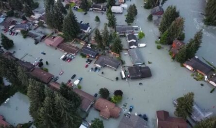
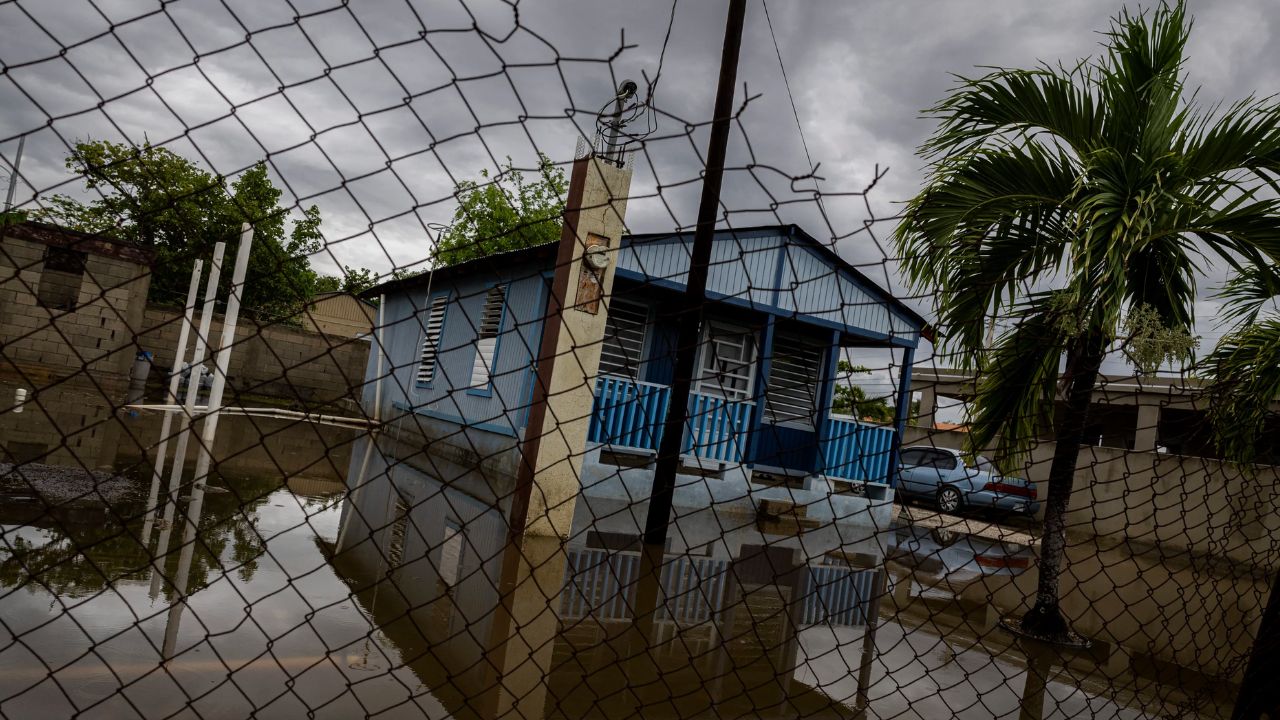
Impacts Across the Caribbean
Accoding to AP news, Erin’s outer rainbands lashed Puerto Rico and the Virgin Islands on Sunday, leaving about 147,000 customers without power, according to Luma Energy, which manages the island’s electrical grid. More than 20 flights were canceled, though the U.S. Coast Guard reopened ports in Puerto Rico and the Virgin Islands Sunday night after winds subsided.
Rough seas are also affecting Hispaniola and the Turks and Caicos, with dangerous rip currents expected through midweek.
Looking Ahead
Erin reached a terrifying Category 5 intensity Saturday with winds of 160 mph before weakening. However, forecasters warn that the storm is likely to remain a major hurricane into midweek, posing risks well beyond its core.
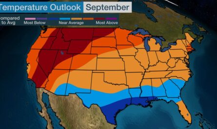
Read Also: La Niña 2025: What the Short, Weak Event Could Mean for U.S. Weather and Hurricane Season
Life-threatening surf and rip currents are forecast along the Bahamas, Bermuda, the entire U.S. East Coast, and Atlantic Canada as Erin turns north and then northeast later in the week.
Climate Change Concerns
Scientists say climate change is fueling stronger and faster-intensifying hurricanes. Warmer oceans and higher atmospheric moisture levels are providing storms like Erin with more energy, enabling them to unleash heavier rainfall and reach dangerous wind speeds more quickly.
How concerned are you about Hurricane Erin’s potential impacts along the U.S. East Coast? Share your thoughts in the comments at ibwhsmag.com.