 by
by DES MOINES, Iowa — A quick-hitting winter storm will bring accumulating snow and dangerously cold temperatures to Iowa this weekend, continuing a busy stretch of fast-moving “clipper” systems across the state.
Forecasters say snow will arrive early Saturday, followed by one of the coldest air masses of the season, with wind chills plunging well below zero by Sunday morning.
Snow Arrives Early Saturday Across Iowa
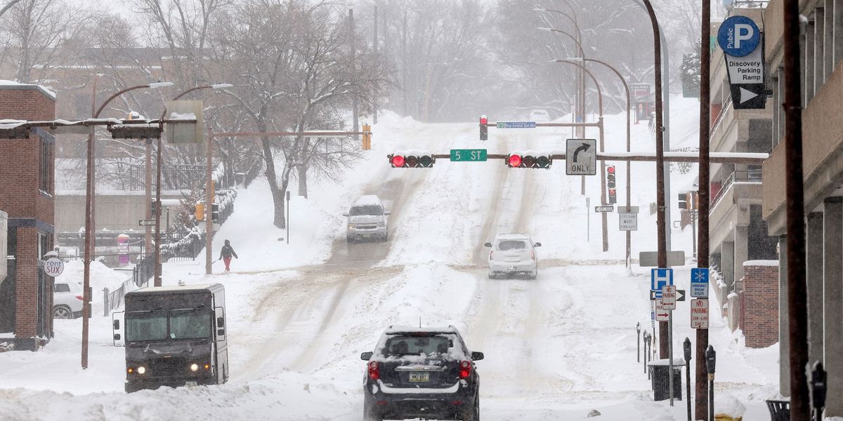
Snow will move into western Iowa between 3 a.m. and 5 a.m. Saturday, with flakes reaching central Iowa and the Des Moines metro between 4 a.m. and 6 a.m.
The fast-moving system will spread snow across much of the state through the morning hours before tapering off by early Saturday afternoon. Here are the expected snow totals –
- 2 to 4 inches from northwest Iowa through central and southeast Iowa
- Lower totals farther northeast and southwest as the system weakens
Because this clipper will move quickly, forecasters do not expect prolonged snowfall, but roads may still become slick during the morning commute.
Arctic Air Follows the Snow
Behind the departing storm, frigid high pressure from the Dakotas will surge into Iowa late Saturday, clearing skies but dramatically dropping temperatures.
With fresh snow, light winds, and clearing skies Saturday night, conditions will be ideal for rapid cooling. Here is the temperature outlook
- Saturday highs: Near 10°F
- Saturday night lows: Near -10°F
- Wind chills: -15°F to -25°F by early Sunday
This will mark the coldest temperatures of the season so far for many locations.
Bitter Cold Continues Into Sunday
High pressure will dominate Sunday, bringing sunny skies but little relief from the cold.
- Sunday highs: Low double digits
- Wind chills: Still well below zero during the morning hours
Anyone heading outdoors should bundle up and limit exposure, as frostbite can occur quickly under these conditions.
Gradual Warm-Up Next Week
The cold grip will loosen early next week as high pressure shifts east and southwest winds return. Here is the warming trend
- Monday: Highs in the mid-30s
- Tuesday: Low 40s
- Wednesday–Thursday: Mid to upper 40s
Another clipper system passing north through Minnesota midweek will help pull warmer air into Iowa, though it is not expected to bring significant snow locally.
By late week, southerly flow and sunshine should provide a calmer and more seasonable end to the workweek.
- Saturday: Snow ends during the morning. Cloudy and very cold. High near 10°F. Winds N 10–15 mph. Total snowfall 2–4 inches.
- Saturday Night: Mostly clear and bitterly cold. Low -5°F. Winds NW 10–15 mph.
Stay Weather-Aware
Drivers should prepare for slick roads Saturday morning, and residents are urged to dress in layers, cover exposed skin, and check on pets and vulnerable neighbors as the extreme cold sets in.
Are you ready for Iowa’s coldest stretch of the season so far? Share how you’re preparing for the snow and deep freeze.