 by
by Davenport, IA – A sharp chill is moving into the Mississippi River Valley this Halloween morning, setting the stage for a brisk weekend across eastern Iowa and western Illinois. Residents can expect a noticeable drop in temperatures and the first early-season hints of wintry weather, including a slight chance of rain mixing with snow before sunrise Saturday.
The National Weather Service in the Quad Cities reports that while Friday still brings some mild sunshine, the region will transition quickly toward colder air with gusty west winds rattling leaves and outdoor decorations. This weekend’s weather marks a clear shift from late-fall warmth to an unmistakable taste of early winter.
Brisk Weekend with Early Snow Possibility
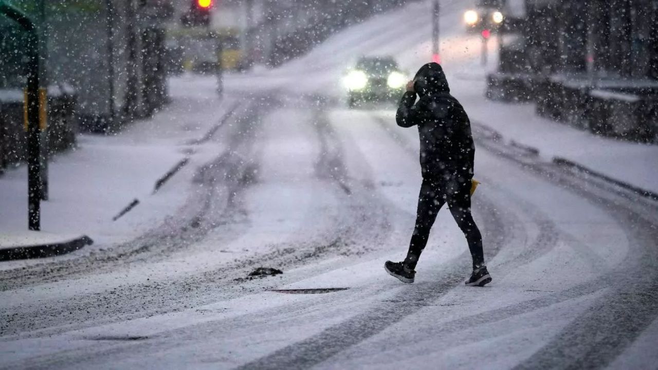
On Friday night, temperatures will drop into the mid-30s, and by Saturday morning a weak weather disturbance moving along I-80 could trigger scattered showers with a 20% chance of a rain-snow mix, especially north of the Quad Cities metro area. Though confidence is low for measurable snow, any wet flakes would represent the season’s first wintry precipitation in the region.
- Saturday temperatures expected to range between 48°F during the day and a low near 31°F.
- Winds will be brisk from the northwest, contributing to colder wind chills and scattered damp pavement.
- Travel conditions should mostly remain safe, but damp roads and gusty winds could produce slick spots—especially for early weekend travelers and trick-or-treaters.
“It’s important for residents to secure outdoor decorations and prepare for temperatures 10 to 15 degrees cooler than earlier this week,” advises the National Weather Service.
Weekend and Early Week Outlook
By Sunday, the weather improves with mostly sunny skies and highs climbing back to the mid-50s. Daylight Saving Time ends Sunday, with a calm, milder afternoon providing a good window for outdoor chores such as raking leaves or prepping heating systems.
- Sunday: Mostly sunny with a high near 54°F and lows around 40°F.
- Monday and Tuesday: Continued mild conditions with highs in the low 60s and mostly sunny skies.
However, long-range weather models indicate a stronger cold surge may arrive late next week, increasing the likelihood of measurable snow in the Upper Midwest.
Read Also: Deadly Flooding in New York City: Heavy Rains Cause Two Fatalities and Major Disruptions
Preparing for the Transition
The forecast presents a crisp, breezy transition weekend unmistakably marking the arrival of November across Iowa and Illinois. Residents are encouraged to take advantage of the calmer weather early next week to prepare their homes and yards for the coming winter.
For more detailed updates and expert insights, visit the Country Herald weather report.
Key Takeaways:
- Expect a significant temperature drop and gusty winds this weekend.
- Small chance of rain mixing with snow early Saturday, primarily north of the Quad Cities.
- Plan for colder conditions 10–15 degrees below recent highs.
- Enjoy a mild, mostly sunny Sunday and early week before a possible stronger cold front arrives.
What do you think about this early taste of winter? Share your thoughts in the comments below!