by
by The U.S. is officially on “La Niña watch” as meteorologists warn of a short but potentially impactful weather pattern forming later this year. The Climate Prediction Center (CPC) released its latest outlook Thursday, forecasting that La Niña conditions will emerge in fall 2025 and shape weather across much of the country through winter.
What Is La Niña?
La Niña is the cooling phase of the El Niño-Southern Oscillation (ENSO) cycle, which alternates between warmer-than-normal ocean temperatures in the tropical Pacific (El Niño) and cooler-than-normal conditions (La Niña). These shifts alter global weather patterns, particularly across North America.
During La Niña, trade winds strengthen, pushing warm water westward and allowing cold water to surface in the eastern Pacific. This disruption affects the jet stream, storm tracks, and seasonal temperatures in the U.S.
Expected Strength and Duration
According to The Hill, This year’s La Niña is predicted to be short and weak, similar to what the U.S. experienced during the 2024–25 winter season. However, meteorologists caution that even weak events can deliver noticeable impacts.
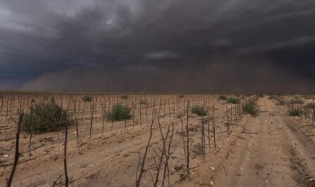
“The 2024–25 winter bore the telltale signs of a La Niña influence,” said meteorologist Nat Johnson. “Most of the southern U.S. and northern Mexico were drier than average, with record-dry conditions in southern Arizona and parts of New Mexico. Meanwhile, wetter conditions prevailed in the Pacific Northwest, Alaska, and parts of the Ohio Valley.”
Typical U.S. Impacts of La Niña
In a typical La Niña winter:
- Southern states (California, Texas, Gulf Coast, and the Southeast) often see warmer and drier conditions.
- Northern states (Pacific Northwest, Midwest, and Ohio Valley) experience cooler, wetter, and sometimes snowier winters.
- Alaska tends to get stormier and wetter.
That pattern largely matched what happened last winter, though there were exceptions. For instance, east Texas, Arkansas, Kentucky, and western Virginia saw wetter conditions than expected.
When Will La Niña Have the Most Impact?
According to Michelle L’Heureux, a meteorologist at the National Weather Service’s Climate Prediction Center, La Niña will likely show its strongest influence during peak winter months.
Even though it is forecast to dissipate before spring 2026, the biggest impacts will be felt between December and February.
Possible Effects on Hurricane Season
La Niña doesn’t just shape winter weather—it also plays a role in the Atlantic hurricane season, which runs through November 30.
Typically, La Niña conditions reduce wind shear (the change in wind speed and direction with height), which allows tropical storms to develop and strengthen more easily.
Read Also: Denver Weather: Weekend Brings Relief From Heat With Scattered Thunderstorms
The National Oceanic and Atmospheric Administration (NOAA) recently updated its hurricane forecast, estimating:
- 50% chance of an above-normal season
- 35% chance of a near-normal season
- 15% chance of a below-normal season
With La Niña arriving this fall, forecasters say the second half of hurricane season could be especially active.
Regional Outlook If La Niña Holds True
If this year’s La Niña plays out in a typical fashion, here’s what different parts of the U.S. could expect:
- California & the Southwest: Drier than normal, raising drought concerns.
- Southern Plains & Southeast: Warmer, less precipitation.
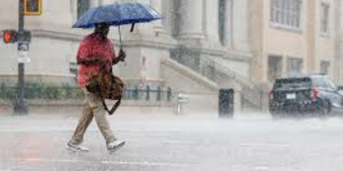
- Midwest & Ohio Valley: Wetter, with potential for above-average snowfall in some areas.
- Pacific Northwest & Alaska: Wetter, stormier winter conditions.
Why It Matters Locally
For residents, understanding La Niña’s influence can help with seasonal planning:
- Farmers and ranchers can prepare for drier soil conditions in the South and stronger storms in the Midwest.
- Homeowners in snow-prone areas can anticipate higher heating costs and more challenging winter travel.
- Coastal communities may need to brace for heightened hurricane risks this fall.
While no two La Niña events are identical, the CPC stresses that historical patterns are a useful guide for anticipating likely outcomes.
Looking Ahead
La Niña may be brief this time, but as history shows, even weak events can trigger major weather shifts. From the risk of drought in the Southwest to wetter winters in the North, the upcoming months will test how closely this year’s forecast aligns with past La Niña impacts.
How do you think La Niña could affect your region this winter? Share your thoughts in the comments at ibwhsmag.com.