 by
by EL PASO, Texas – An active Pacific basin event is channeling a significant plume of deep tropical moisture from the remnants of Hurricane Lorena into Mexico and parts of the southwestern United States, raising concerns over flash flooding through the weekend.
Although Hurricane Lorena is unraveling without making landfall in either Mexico or the United States, the tropical moisture is moving northeast and eastward toward southern Arizona, New Mexico, and Texas. This influx of moisture combines with regional weather features like fronts and the Southwest’s annual monsoon, which together are expected to produce potentially problematic rainfall totals.
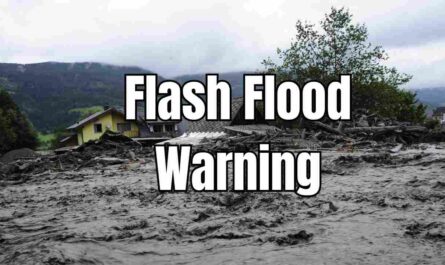
The Threat of Flash Flooding Across the Desert Southwest and Texas
Forecast models have indicated that areas affected by Lorena’s moisture could receive one to two inches of rain, with additional accumulation possible as other weather systems contribute. National Weather Service (NWS) offices have already issued Flash Flood Watches covering regions from Southern California through Arizona and New Mexico. These watches may extend into Texas soon as these systems converge.
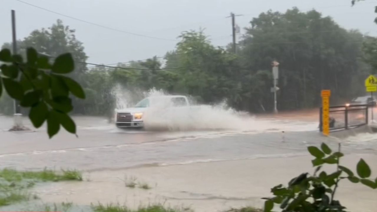
Repeated, heavy downpours have the potential to overwhelm creeks and urban drainage, leading to dangerous flash floods. The National Oceanic and Atmospheric Administration’s Weather Prediction Center highlights parts of Texas at Level 3 out of 4 on their excessive rainfall outlook, indicating a high possibility of flash flooding between late Sunday and Monday.
- The heaviest rain is predicted southwest of regions recently impacted by devastating floods in Texas Hill Country, where flooding in July claimed at least 135 lives.
- NWS forecasters warn it only takes six inches of fast-moving water to knock an adult off their feet, and one foot of water can carry away most vehicles.
Factors Increasing Flooding Danger in the Region
Soil conditions greatly influence flooding severity. Areas experiencing drought can have hardened soil that limits absorption, while urban infrastructure with pavement can further restrict water drainage. This combination can lead to intensified flash flooding despite the welcome nature of much-needed rainfall.
Read Also: Thunderstorm, Dust Storm, and Flash Flood Warnings Issued for Phoenix Area in September 2025
The interaction between the tropical moisture from Lorena and seasonal monsoon activity means some parts of the Desert Southwest and Texas could experience heavy rains in a short timeframe, posing significant risks to both natural and urban environments.
“While rainfall is often welcome news in drought-stricken areas, the combination of tropical moisture and seasonal wet weather can result in too much rain too quickly, heightening the risk of flash floods,” explained a National Weather Service meteorologist.
For more detailed forecasting and updates, you can visit the original report on Fox Weather.
Preparing for the Weekend’s Weather Impact
- Stay informed of local flash flood watches and warnings.
- Avoid driving or walking through flooded roads or areas with fast-moving water.
- Ensure emergency plans are updated, especially for vulnerable communities.
With the storm systems currently active in the Pacific and Southwest, residents and travelers across affected regions are urged to exercise caution and adhere to weather advisories.
What do you think about Lorena’s impact on the Desert Southwest and Texas? Have you experienced flash flooding caused by tropical moisture in your area? Share your thoughts in the comments below!