 by
by Duluth, Minnesota– On the 22nd of July, a significant portion of northeast Minnesota will be placed on high alert due to the presence of smoke-filled skies and the impending arrival of summer storms. It is probable that inhabitants of Duluth, particularly those who commute along United States Highway 53, would be affected by the potentially hazardous air quality and severe weather.
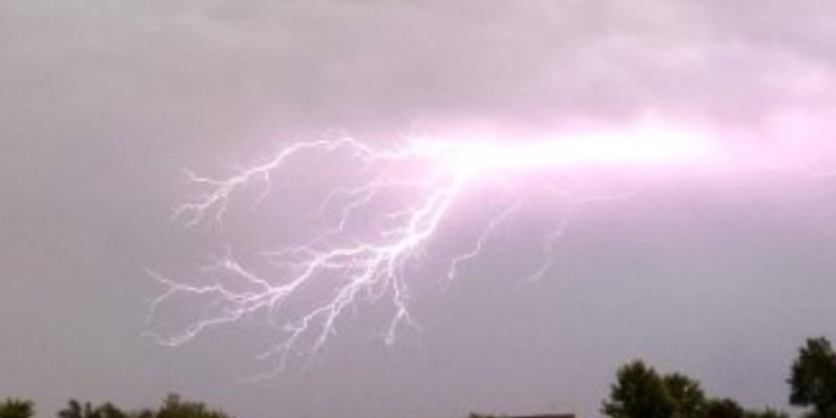
The National Weather Service in Duluth has stated that an Air Quality Alert will continue to be in effect until nine o’clock on Tuesday morning. This is because smoke from wildfires is still completely covering the region. Sensitive groups, such as youngsters, the elderly, and people who suffer from heart or lung illness, should avoid extended exercise and, if at all possible, remain indoors. At the same time, there is a sixty percent probability of showers and thunderstorms arriving late on Tuesday night, with the possibility of heavy rainfall and gusty winds.
Overnight on Tuesday, the smoke will start to clear up, but this alleviation will bring about instability. There is a possibility of thunderstorms occurring between the hours of 10 p.m. and Wednesday morning. Especially in the vicinity of Duluth and Aitkin, as well as along U.S. Highway 2, certain storms have the potential to turn severe, accompanied with isolated floods and small hail. Wind gusts from the southwest might reach up to 20 miles per hour.
By midweek, the humidity has increased. Another wave of storms is possible late in the evening, and the high temperature on Wednesday might reach 79 degrees Fahrenheit. The temperature will drop for a short period of time on Thursday, but then it will rise once more throughout the weekend.
Five-Day Weather Outlook for Duluth, MN
- Tuesday, July 22: High 74°F, 40% chance of storms late. Smoke gradually clearing.
- Wednesday, July 23: High 79°F, 60% chance of storms. Humid with gusts up to 20 mph.
- Thursday, July 24: Partly cloudy, High 79°F. Dry and seasonable.
- Friday, July 25: High 78°F, 50% chance of scattered PM storms.
- Saturday, July 26: Thunderstorms likely, High 80°F. Weekend outdoor plans may be impacted.
- Sunday, July 27: Partly cloudy, High 84°F. Muggy with slight chance of evening storms.