 by
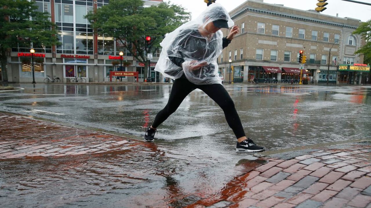
by Massachusetts – Massachusetts and much of New England are poised to receive some much-needed rainfall this week, as a weather system brings scattered showers Tuesday night and a more significant round of downpours expected Thursday. Residents should prepare for a NEXT Weather Alert in effect through Thursday night, signaling potentially heavy rain and thunder, along with a surge of tropical moisture that will raise humidity levels considerably.
A Slow Start with Scattered Showers Late Tuesday Night into Wednesday
Weather conditions will begin to shift late Tuesday night into Wednesday morning as a batch of scattered showers and isolated thunderstorms move across the region. While some localized downpours and heavier rainfall totals are expected, these will be sporadic rather than widespread. The rain chance will persist into the busy morning commute, prompting caution for travelers.
- Scattered showers and isolated thunderstorms late Tuesday night into Wednesday morning
- Localized heavy downpours possible, but not widespread
- Rainlingering into morning commute hours
Wednesday Brings a Brief Break with Cooler Temperatures
Most of Wednesday is expected to see a lull in steady rainfall. The region may experience only a few scattered showers or areas of mist, but no significant precipitation. Temperatures will dip, with highs in the mid to upper 60s, aided by an east wind blowing off the ocean that will provide cooler, fresher air compared to the prior day.
- Few showers or mist during Wednesday and early evening
- Highs in mid to upper 60s
- Cool east winds from the ocean
Thursday’s Widespread Downpours and Tropical Moisture Surge
The most impactful weather arrives late Wednesday night and continues through Thursday as tropical moisture surges northward, bringing the week’s most widespread and intense rainfall.
This system could deliver 1 to 3 inches of rain in spots, providing a solid soaking that will be especially notable in interior Massachusetts, northern New England including New Hampshire and Vermont. Southeastern Massachusetts will likely see lower rainfall totals but still significant precipitation.
The air will also become very humid, with dewpoints rising into the 60s and possibly reaching 70°F—a stark contrast to the crisp, dry air experienced earlier this September.
“This round of rainfall is critical for relieving dry conditions across much of Massachusetts and will bring a substantial humidity increase,” said a local meteorologist.
- 1 to 3 inches of rain possible, especially in interior Massachusetts and northern New England
- Widespread heavy downpours and thunderstorm activity expected
- Humidity levels rise sharply, with dewpoints in the high 60s to around 70°F
Warm and Dry Conditions Expected for the Weekend
After Thursday’s rainfall, a drying trend will take hold on Friday, bringing a welcome break from precipitation. Temperatures will rebound, with highs near 80°F through Monday for many inland towns, providing a warm stretch of weather ahead. Coastal areas may experience slightly cooler temperatures, but overall, the weekend looks comfortable and mostly dry.
- Drying trend begins Friday after the rain
- Warm temperatures with highs near 80°F Friday through Monday
- Coastal areas slightly cooler but largely pleasant
Massachusetts residents should stay tuned to local weather updates as this dynamic weather pattern unfolds, especially with the potential for heavy rain and humid conditions on Thursday.
What do you think about this upcoming rainfall? Have you experienced downpours like this in Massachusetts before? Share your thoughts in the comments below!