 by
by Newark, NY – A persistent wave of lake-effect snow is set to impact Newark and surrounding areas in Western and Central New York, prompting ongoing Winter Weather Advisories through early Tuesday morning. This weather event is expected to cause challenging travel conditions due to accumulating snow and gusty winds.
The National Weather Service (NWS) in Buffalo has issued a series of advisories highlighting the risk of snow accumulation and visibility reductions from tonight into Tuesday, with localized bands of heavy snow shifting across the region.
Advisories and Expected Snowfall Across Key Counties
- Wayne and Northern Cayuga Counties: Winter Weather Advisory active from 4 p.m. today until 10 a.m. Tuesday with expected snow accumulations ranging from 2 to 5 inches in persistent bands.
- Lewis County: Advisory in effect until 7 p.m. Monday with an additional 1 to 3 inches forecast, mainly over the higher terrain areas like the Tug Hill Plateau and Adirondacks’ western slopes.
- Chautauqua and Cattaraugus Counties: Advisory lasting until 1 p.m. Monday; 2 to 4 inches of snow expected inland from Lake Erie, with little accumulation near the lake and NYS Thruway corridor.
Travel Impact and Safety Advice
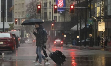
The NWS warns that narrow, shifting lake-effect snow bands can cause conditions to change rapidly within short distances. Drivers might encounter sudden whiteouts followed by clear patches just minutes later, complicating road safety.
“Roads may become snow-covered and slippery, especially during the Monday evening commute and again Tuesday morning in Wayne and Cayuga counties. Motorists are urged to slow down, allow extra travel time, and be prepared for rapidly changing conditions,” advises the National Weather Service.
What Residents Should Know and Do
- Expect possible snow accumulations between 2 and 5 inches in target areas.
- Be aware of wind gusts up to 35 mph that can cause blowing snow and reduced visibility.
- Plan extra travel time and drive cautiously, especially during commutes.
- Submit local snow reports to the NWS Buffalo website or social media to help with real-time data collection.
Preparing for Continued Winter Weather
This advisory underscores the importance of readiness as lake-effect snow events can produce highly localized, intense snowfall impacting some communities more than others.
Residents and travelers should monitor local weather updates closely and heed official advice to ensure safety through this winter weather period.
What do you think about this winter weather advisory? Share your thoughts and experiences with lake-effect snow in the comments below!