 by
by Glasgow, MT – Residents of northeast Montana should prepare for a period of gusty winds and chilly rain forecasted to persist through Thursday. This weather pattern is expected to impact travel and outdoor activities, particularly around Glasgow and Fort Peck, with strong winds and wet conditions making for challenging commutes and outdoor plans.
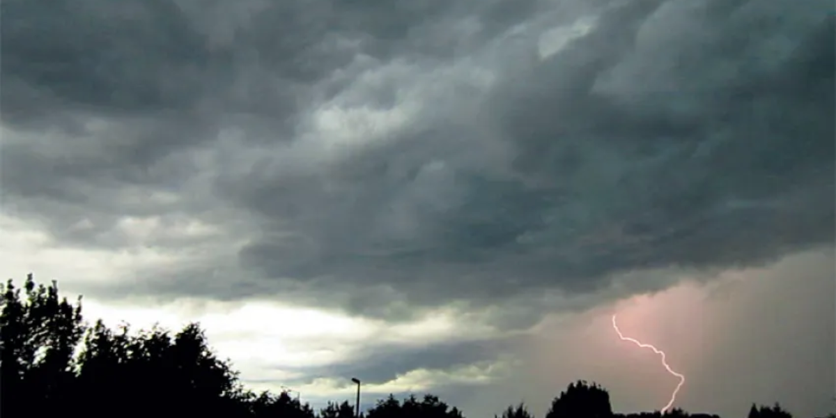
According to the National Weather Service in Glasgow, a Lake Wind Advisory remains in effect through Tuesday morning, signaling gusts over 30 mph along Fort Peck Lake and across the open plains. Rain will increase starting Wednesday, becoming heaviest between midnight and Thursday morning as cooler air moves in.
Gusty Winds and Rain Impact Travel and Outdoor Activities
The combination of gusty winds and steady rain means drivers and outdoor enthusiasts should exercise caution through the week. Key points to note:
- East winds are forecasted up to 30 mph, shifting to north by late Thursday with speeds around 20 mph.
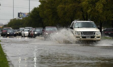
- Rainfall will be heaviest overnight Wednesday into Thursday morning, bringing potential slick road conditions.
- Visibility may drop temporarily in rural areas, particularly near Hinsdale and Nashua, due to rain and low clouds.
- Boaters and anglers are advised to avoid Fort Peck Lake until winds subside late Tuesday for safety.
“Expect blustery travel and damp commutes as the wind advisory continues through Tuesday morning,” cautioned the National Weather Service in Glasgow.
Read Also: North Dakota Cold Snap: Fall Freeze and Strong Winds Sweep the State Overnight
Temperature Fluctuations Mark Return to Late-Fall Chill
Along with wet conditions, temperatures will remain cool, signaling a shift back to late-fall weather:
- Daytime highs will hover in the low to mid-50s through Thursday.
- Overnight lows are expected to dip into the 30s, bringing crisp, chilly nights.
- By the weekend, temperatures are expected to rebound slightly into the upper 50s and low 60s.
Residents are encouraged to use the upcoming clearer weather on Friday and Saturday to secure outdoor items and complete seasonal yardwork before more unsettled conditions return next week.
Five-Day Forecast Summary for Glasgow, MT
- Tuesday: Mostly cloudy with gusty east winds up to 30 mph; highs near 50, lows 35.
- Wednesday: Cloudy with increasing rain late; highs near 54, lows 40.
- Thursday: Rain likely with breezy north winds; highs 56, lows 37.
- Friday: Partly sunny with drying trend; highs near 59, lows 33.
- Saturday: Mostly sunny, calmer and milder; highs around 58, lows 33.
Stay Prepared and Safe
With the combination of strong winds, rain, and dropping temperatures, caution on the roads and at outdoor recreational sites is crucial. Monitoring updates from the National Weather Service and local authorities will help residents and visitors stay informed and safe throughout this period.
What do you think about this weather update for northeast Montana? Share your thoughts and preparedness tips in the comments below!