 by
by New York, NY – Residents of the tri-state area are bracing for multiple bouts of rain and storms through the end of the week, with Thursday expected to deliver the wettest weather of the period. While the rainfall will not completely alleviate the region’s moderate drought, experts say it will provide significant relief and slow its worsening trend.
After two weeks dominated by stable high pressure and dry conditions, a shift in weather patterns will bring more unsettled weather to the East Coast. This change is crucial for farmers, gardeners, and others relying on a steady water supply, although it arrives with some caution for those traveling or planning outdoor activities.
Thursday: The Wettest Day with Potential for Localized Flooding
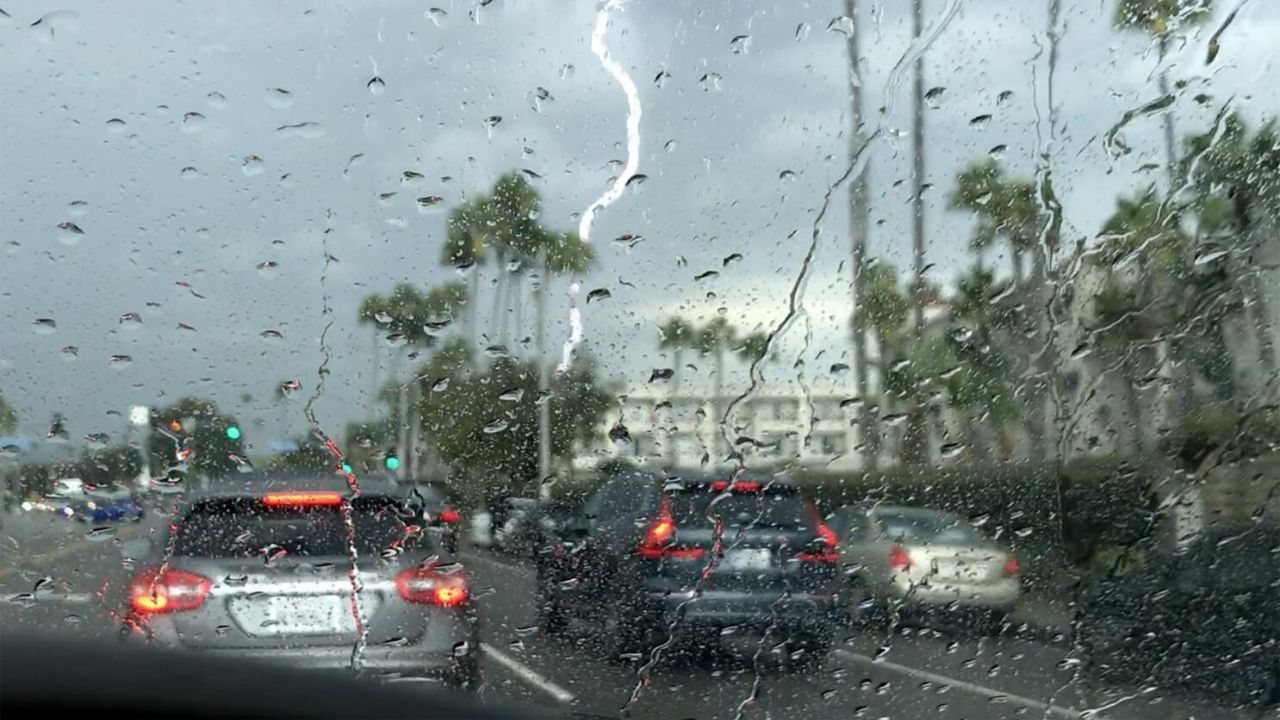
Thursday marks the day with the heaviest rains expected across the tri-state area. While the showers won’t be constant, intermittent rainfall should be anticipated throughout the day. The Storm Prediction Center has issued a Level 1 risk — the lowest on their 1-to-5 scale — for isolated severe weather in the region.
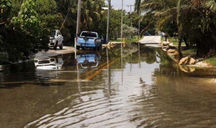
Damaging straight-line winds are the most likely severe weather threat, particularly on Thursday evening when some of the stronger storm cells are predicted to develop. Motorists are advised to exercise extra caution during heavy downpours as localized flooding could occur, especially north of New York City across the Hudson Valley and into New England.
- Rainfall totals may range from less than 0.5 inches to over 3 inches in some areas.
- Rainfall will be intermittent, so keeping an umbrella handy is recommended.
- The moderate drought conditions in parts of the tri-state are expected to improve but not end entirely this week.
“This week’s rain won’t bust our drought entirely, but it will hopefully put a pause on its spread,” meteorologists noted.
Impact on Outdoor Activities and the Ryder Cup
The upcoming rainfall will be welcomed by agricultural communities and homeowners seeking to maintain healthy gardens. However, it may not be as popular among those planning recreational activities, especially golf fans. The Ryder Cup begins its first round on Friday at Bethpage Black in Farmingdale, running through Sunday.
Fortunately, forecasts indicate that the rain should be moving out by Friday morning. While the greens may remain damp and slower than usual, no significant rain delays are anticipated during the tournament.
Read Also: Louisville, KY Weather Forecast: Drier, Warmer Conditions Expected Through Sunday
- Ryder Cup golf rounds likely to proceed with minimal interruption.
- Greens may be wet and slow on Friday due to recent rains.
Weekend Outlook: Warmer and Mainly Dry Conditions
Looking ahead, a re-establishment of high pressure will stabilize the weather over the weekend, bringing mainly dry and warm conditions to the tri-state area. South Jersey might see a few showers from a disturbance on Saturday, but most locations can expect dry skies with highs near 80 degrees.
- Mostly dry weather expected through the weekend.
- Temperatures will feel warm for early fall, with highs around 80°F.
- Minor chance of showers in South Jersey on Saturday only.
For more detailed information and updates on this forecast, visit NBC New York’s Weather Coverage.
What do you think about this week’s rain forecast? Have you noticed any changes in your local area due to the drought? Share your thoughts in the comments below!