 by
by Sacramento, California – A significant weather pattern shift is set to bring cooler temperatures and an increased risk of afternoon thunderstorms to the Northern California region, starting late Sunday and persisting through at least Thursday. This change follows a stretch of predominantly dry conditions, marking a noticeable transition for residents and travelers alike.
The National Weather Service in Sacramento has forecasted a slow-moving weather system expected to move into the area late Sunday night and linger through the middle of the week. This system will transport moisture and atmospheric instability into the northern Sacramento Valley, Coast Range, and Sierra Nevada, creating a heightened chance of scattered light rain showers and isolated thunderstorms.
A Shift in Weather: Cooler Temps and Storm Chances
The arrival of this weather system signifies a sharp departure from recent dry and warm conditions. Key details about the upcoming weather include:
- Timing: Late Sunday night through at least Thursday
- Temperature: Noticeable cooling across the region
- Precipitation: Light rain expected, mainly in the northern Sacramento Valley and surrounding mountain areas
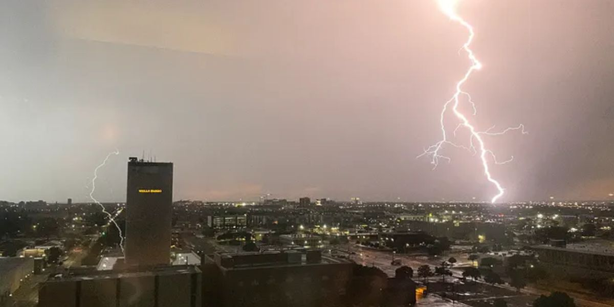
- Storm Activity: Potential for afternoon and evening thunderstorms daily through Wednesday
- Uncertainty: High variability in the timing and coverage of thunderstorms
Safety Considerations and Travel Impact
Due to the possibility of brief, heavy downpours and gusty winds during thunderstorms, experts advise caution, especially in mountainous zones. The resulting slick roadways and reduced visibility can pose hazards for drivers and outdoor enthusiasts. Residents should take precautions, including:
- Monitoring local weather updates regularly
- Limiting outdoor activities during potential thunderstorms
- Securing outdoor furniture and loose items susceptible to wind
“Travelers should monitor conditions closely, especially in mountain areas where brief downpours could reduce visibility and create slick roadways,” said the National Weather Service.
Looking Ahead: What to Expect This Week
This early September weather pattern marks an important transition for the Sacramento Valley. Forecasters emphasize that while rainfall totals are expected to remain light, the daily threat of storms—however isolated—requires vigilance. Further updates or advisories may be issued as meteorologists gain greater confidence in the storm’s trajectory and impact.
For those seeking ongoing information, official forecasts and detailed updates can be consulted through trusted sources such as the National Weather Service reports.
Key Weather Summary:
- Slow-moving system influencing Northern California from Sunday night through Thursday
- Cooler temperatures replacing recent warm weather
- Potential for light rain showers and isolated thunderstorms primarily in northern valley and mountains
- High uncertainty remains about storm timing and coverage
What do you think about the upcoming weather changes? Are you prepared for the cooler temperatures and thunderstorm risk? Share your experiences and thoughts in the comments below!