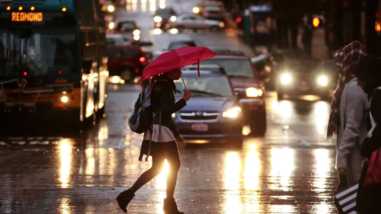
Seattle, WA – The Pacific Northwest is heading into October with a stretch of warmer-than-average temperatures and limited rain chances, according to the latest National Weather Service (NWS) outlook. The region, known for its fall drizzle, will instead see sunshine and mild afternoons through October 14, giving residents more opportunities for outdoor events and early seasonal activities.
Above-Normal Temperatures Across the Pacific Northwest
The 8-to-14-day climate outlook shows above-normal temperatures dominating from western Washington down through Oregon and into northern Idaho. While average highs in Seattle typically sit in the upper 50s this time of year, the city will experience daytime temperatures in the mid-60s to near 70 degrees.
Portland will follow a similar trend, with sunny afternoons and minimal rainfall chances. Further inland, Spokane and Boise are expected to be slightly cooler but still milder than seasonal norms.
For residents, that means more comfortable weather for pumpkin patch visits, fall festivals, and even outdoor Halloween decorating, which often gets disrupted by October storms.
Drier Than Normal, But Drought Risks Remain
While the pleasant stretch is a welcome break from gray skies, officials warn that the lack of precipitation could extend drought conditions across portions of the region.
Eastern valleys and foothill communities remain at elevated fire risk, especially where grasslands and brush are still dry after the summer season. Local officials continue to urge residents to respect burn restrictions and practice caution with outdoor flames or equipment that can spark wildfires.
“Extended dry spells this time of year can be deceptive,” an NWS forecaster explained. “Just because cooler weather is here doesn’t mean fire danger disappears.”
Outlook Beyond October 14
Long-range models suggest the warmer, drier pattern may ease toward the second half of October, with increased chances of rain returning to western Washington and Oregon. However, climate experts note that overall precipitation totals are still expected to be below average for the month.
That means reservoir levels, soil moisture, and river flow could remain stressed heading into late fall and early winter. For communities that depend on early-season rains to build snowpack and replenish water supply, October’s outlook is raising some concern.
What Residents Should Know
- Seattle & Portland: Highs will hover mid-60s to 70°F with sunny afternoons.
- Spokane & Boise: Mild, slightly cooler, but still above average for October.
- Fire Safety: Elevated fire danger persists east of the Cascades; residents should follow burn bans and remain cautious.
- Fall Activities: Great conditions for pumpkin patches, apple picking, and outdoor markets.
- Rain Outlook: Below-average precipitation through at least mid-October.
Read Also: Amarillo Texas Fall Weather: Hot Days and Sunny Skies to Persist Through Early October
A Perfect Window for Outdoor Fall Fun
For many residents, the forecast comes as a relief after an unusually hot summer and concerns over early autumn storms. The warm, dry spell provides one of the best windows of the year to enjoy outdoor recreation, scenic drives, and seasonal traditions across the Pacific Northwest.
Still, meteorologists and state officials emphasize that the community should not overlook the risks of drought and wildfires, even as cooler days set in.
Expect sunny skies, mild afternoons, and limited rain chances through mid-October in Seattle and across the Pacific Northwest. While this is great news for fall festivities, residents should stay alert to ongoing fire danger and drought conditions.
What do you think of Seattle’s unusual warm and dry October stretch? Share your thoughts in the comments on ibwhsmag.com.


 by
by 

