 by
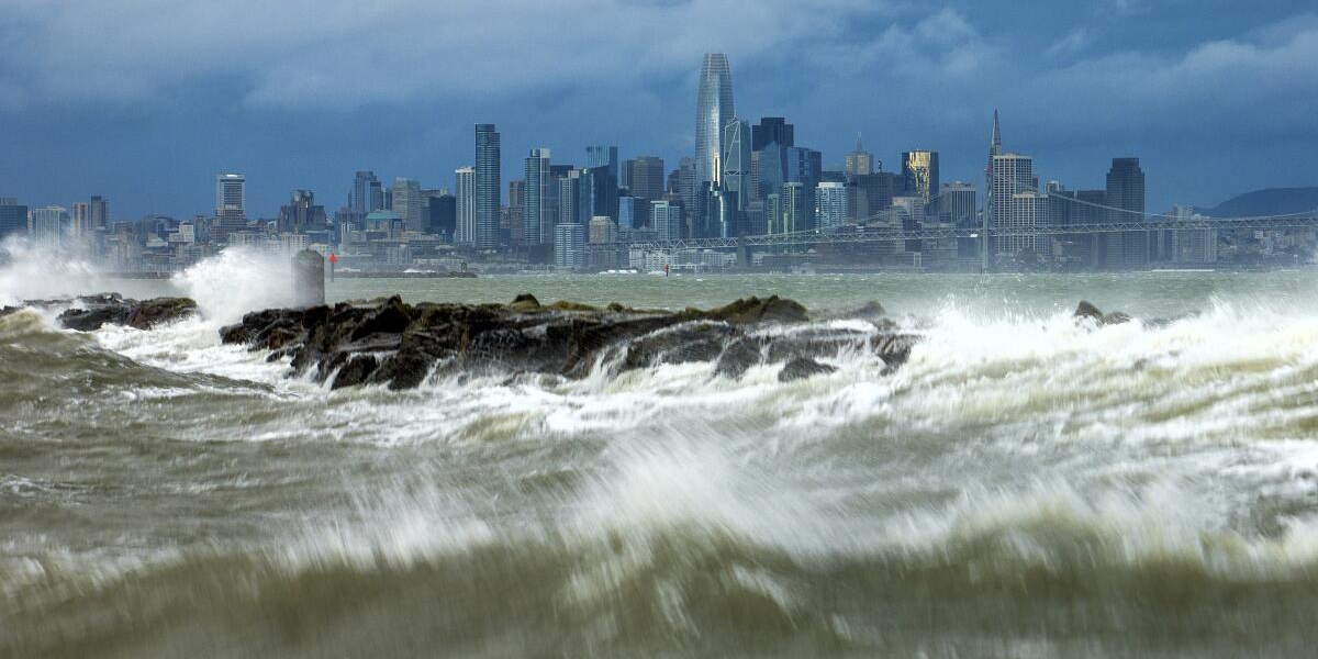
by Los Angeles, California – Residents across Southern California are being warned of a combination of dangerously hot weather and incoming monsoonal moisture that could trigger thunderstorms, flash flooding, and wildfire risks through midweek. The National Weather Service (NWS) issued multiple alerts on Monday, cautioning that the region should prepare for both extreme heat and unstable weather conditions.
Heat Advisory in Effect
A Heat Advisory remains in place for much of Southern California, set to expire at 6 p.m. Tuesday. According to the NWS, daytime highs are expected to range between 96 and 107 degrees, with warm overnight conditions offering little relief.
Officials warn that the heat could pose serious health risks, particularly for vulnerable populations such as children, older adults, and those without access to adequate cooling. Residents are urged to:
- Stay hydrated and avoid strenuous outdoor activities during peak heat.
- Use air conditioning or cooling centers when possible.
- Check on neighbors and family members who may be at higher risk of heat-related illness.
Monsoonal Moisture Brings Thunderstorm Threats
Alongside the extreme heat, monsoonal moisture is moving into the region and is expected to remain through at least Thursday. This system is fueling a heightened chance of thunderstorms, with the heaviest activity forecast over the Antelope Valley and the eastern San Gabriel Mountains.
The NWS reported a 30 to 50 percent chance of thunderstorms in those areas from Tuesday through Wednesday. Some storms could be severe, producing:
- Heavy downpours leading to flash flooding and debris flows.
- Strong downburst outflow winds with gusts of 40 to 60 mph.
- Dry lightning, which could spark wildfires in vulnerable areas.
Elevated Fire Risk
One of the biggest concerns is the potential for isolated dry lightning strikes, which could ignite wildfires in drought-prone landscapes. NWS officials estimated a 10 to 20 percent chance of thunderstorms producing dry lightning, which combined with hot, dry conditions, poses a significant fire weather risk.
Areas near the Bridge Burn Scar and other wildfire burn zones are especially vulnerable to flash flooding and debris flows, where unstable soil and vegetation loss make the terrain dangerous during heavy rains.
Read Also: Southern California Wedding Crasher Allegedly Steals $100K in Gifts From Glendale Couple
Overnight Storm Activity
Early Tuesday morning, residents of Simi Valley reported lightning flickering across the skies. Video footage captured around 4 a.m. showed active storm cells tied to a weather system that had hovered over the Central Coast overnight before moving southward into Southern California.
While no measurable rainfall was recorded immediately, forecasters believe the moisture will intensify storm chances throughout the day and into Wednesday.
Safety Precautions for Residents
Local officials recommend several precautions as Southern California prepares for the dual threat of heat and thunderstorms:
- Avoid hiking or outdoor recreation in mountain and desert areas during afternoon and evening hours when thunderstorms are most likely.
- Be cautious when driving, as sudden downpours could cause flash flooding on roadways.
- Prepare emergency kits with water, flashlights, and supplies in case of power outages caused by high winds or storms.
- Follow evacuation orders immediately if flash flooding occurs near burn scars or flood-prone zones.
Looking Ahead
According to the NWS, the monsoonal pattern could linger through late Thursday, with the highest storm risks concentrated in mountain and desert regions. Coastal and valley areas are less likely to see heavy storms but will still experience above-average temperatures and possible isolated thunderstorm activity.
By late week, conditions are expected to stabilize slightly, though officials caution that September often brings volatile weather patterns to Southern California, especially when tropical moisture surges northward.
Southern California residents should remain alert as heat, monsoonal storms, and wildfire risks converge this week. With temperatures soaring past 100 degrees and thunderstorms capable of producing both flash flooding and lightning, officials stress the importance of preparation and caution.
How do you usually prepare for SoCal’s mix of heatwaves and sudden thunderstorms? Share your tips in the comments at ibwhsmag.com.