 by
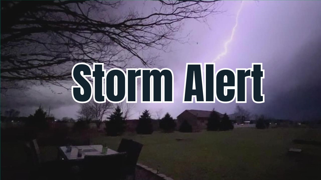
by Wilmington, OH – Residents in the Kentucky–Ohio Valley region should prepare for a significant weather shift as stormy conditions are expected to arrive early Tuesday morning, interrupting a tranquil October stretch. Following afternoons of sunshine and highs near 80°F, a cooler pattern will replace the warmth by midweek with a drop into the low 70s.
The National Weather Service (NWS) in Wilmington has issued alerted forecasts signaling scattered thunderstorms moving through southwest Ohio and along the I-71 corridor, including areas from Cincinnati through Wilmington and toward Columbus, emphasizing caution during the Tuesday morning commute.
Storm System Impact and Travel Advisories
Forecast models indicate that late Monday into early Tuesday will bring brief downpours and gusty winds due to scattered thunderstorms. This weather system is expected to produce:
- Up to half an inch of rain, with localized heavier amounts under stronger storm cells
- Possible power flickers and ponding in low-lying areas
- Slick roads and limited visibility during the busy morning commute
“Commuters along the I-71 corridor should plan extra travel time Tuesday morning due to wet and windy conditions,” said a spokesperson from the National Weather Service Wilmington office.
Read Also: North Louisiana, East Texas Could See Quick-Moving Drought Develop by Mid-October
Cooling Trend and Post-Storm Outlook
As the storm system progresses eastward Tuesday evening, drier and cooler air will settle in by Wednesday. Expect highs dipping into the upper 60s to low 70s, with crisp, clear nights perfect for enjoying the fall foliage season.
Looking ahead, high pressure returns later in the week, ushering in sunshine and cool, calm weather just in time for autumn activities like pumpkin patch visits and early Halloween preparations.
- Wednesday: Mostly sunny, cool, with highs near 68°F
- Thursday: Bright and calm, ideal for outdoor activities
- Weekend: Dry and comfortable, with mild daytime temperatures and chilly nights
Preparation Tips for Residents
Local authorities advise residents to take simple precautions ahead of the storms, including:
- Clearing leaves and debris from storm drains to prevent flooding
- Securing outdoor decorations to avoid storm damage
For detailed updates and expert statements, visit Country Herald’s report.
What to Expect This Fall: Weather Highlights
- Sunday: Sunny, warm with highs around 83°F
- Monday: Mostly sunny, storm risk increasing late day
- Tuesday: Showers and isolated thunderstorms with gusty winds
- Wednesday and Thursday: Cooler temperatures with sunshine and calm conditions
What do you think about this upcoming weather change? Share your experiences and safety tips in the comments below!