 by
by SAN ANTONIO, Texas – A powerful and persistent weather system has unleashed severe storms across West Texas and the Southern Plains, bringing a dangerous combination of tornadoes, flash flooding, and damaging winds.
The storms began intensifying Friday as an area of low pressure moved from the Four Corners region, triggering multiple tornado watches and warnings. This trend is expected to continue through the weekend, impacting key cities including Austin, Houston, Dallas, and extending into Oklahoma and Louisiana.
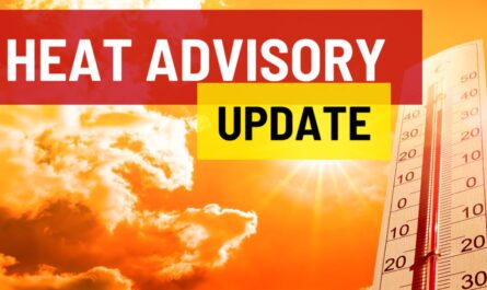
Severe Storms and Tornado Risk Escalate
According to the FOX Forecast Center, the advancing line of storm systems is drawing Gulf of Mexico moisture northward, dramatically increasing the risk for severe thunderstorms and flash flooding across the Southern Plains. A notable surge in activity is anticipated on Saturday, with a secondary line of storms developing in the afternoon, compounding the threat of heavy rain, hail, and strong winds.
- Level 2 out of 5 severe storm risk is in place for major Texas and Louisiana cities including Austin, Houston, Lake Charles, and Baton Rouge.
- Flood Watches remain active across Oklahoma, north-central Texas (including Dallas), and southeastern Texas through Sunday.
- The National Oceanic and Atmospheric Administration’s Storm Prediction Center has indicated a 5% tornado risk where storm conditions and wind shear are most favorable.
FOX Weather Meteorologist Craig Herrera explained, “Winds out of the southeast from the Gulf are blowing perpendicular to the storm system’s winds, creating an elevated threat of tornadoes.”
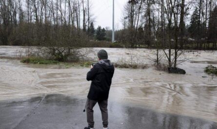
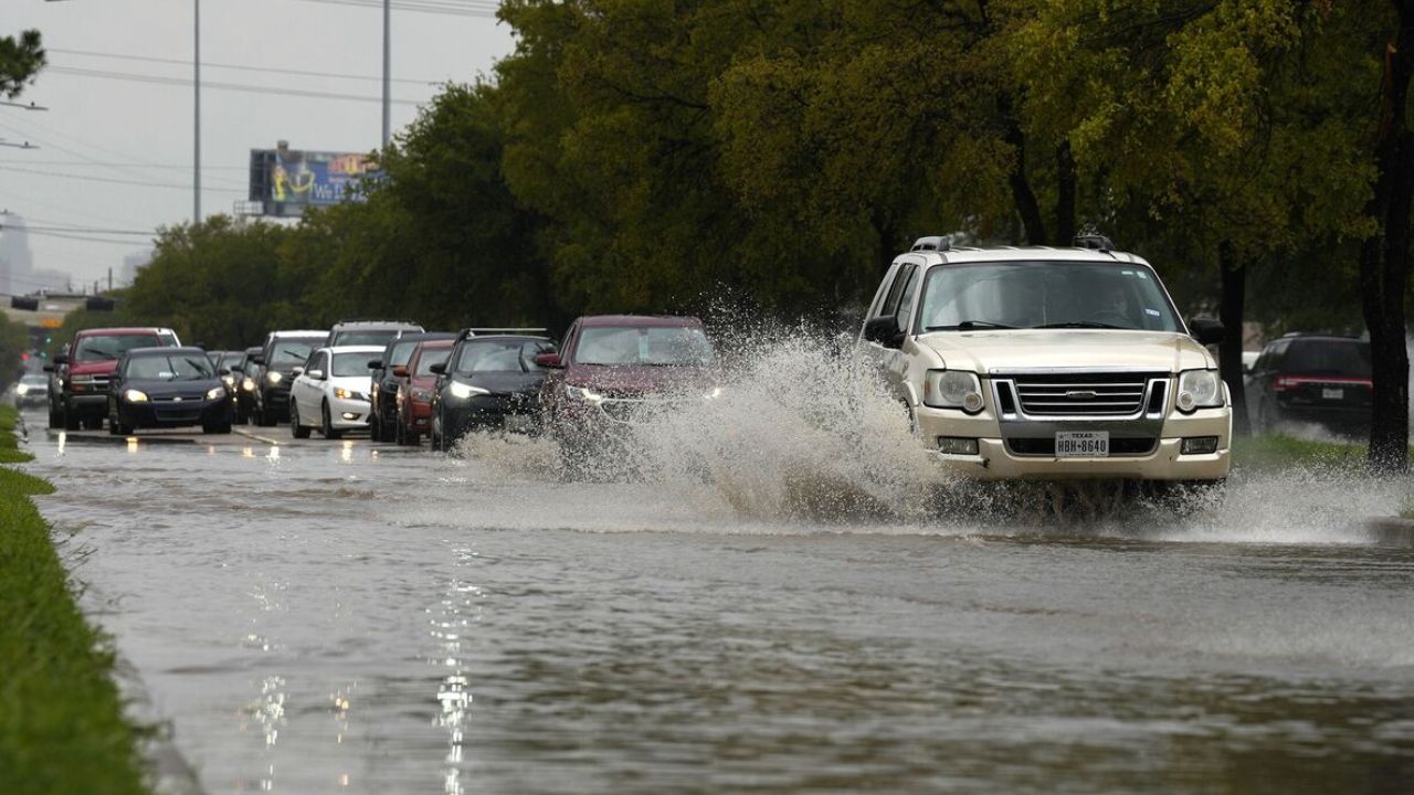
Flash Flooding and Heavy Rainfall Threat Continue Through Weekend
The most intense downpours are forecast for Saturday afternoon, particularly affecting Houston, East Texas, Western Louisiana, and areas around Lake Charles. The FOX Forecast Center projects widespread rainfall amounts of 1 to 3 inches across Oklahoma, North and East Texas, southern Arkansas, and Louisiana. Some locations could see up to 5 inches or more where storms repeatedly track.
- The ongoing flood threat is rated as Level 2 out of 4 in southeastern Texas and much of Louisiana.
- Flash Flood Warnings and Flood Emergencies have been issued and remain a critical concern during this period.
As the low-pressure system slowly drifts eastward, it carries the bulk of heavier rain along the Gulf Coast, continuing the severe weather threat into Sunday with a diminishing Level 1 out of 5 risk.
Read Also: Florida Mom Frustrated Over $1,950/Month Daycare for Special Needs Child
Recent Severe Weather Impact in North Texas
Earlier in the week, severe storms significantly impacted North Texas, including the Dallas-Fort Worth metro area. FOX Weather storm trackers Corey Gerken and Brandon Montgomery reported on a severe storm line near the Red River in Wichita County, Texas, Thursday evening. Lightning from these storms caused multiple house fires—six specifically in the Dallas area—highlighting the destructive nature of the ongoing weather event.
Staying Informed and Prepared
Residents across affected regions are urged to stay closely informed through reliable sources like FOX Weather. It is critical to prepare for possible tornado warnings and flood conditions by following local emergency updates and having safety plans in place.
Key Takeaways for Texans and Southern Plains Residents
- Watch for ongoing severe thunderstorm and tornado warnings.
- Anticipate heavy rainfall leading to potential flash flooding, especially in low-lying areas.
- Prepare for wind damage and the possibility of hail.
- Follow official weather alerts and avoid travel in hazardous conditions.
What do you think about this severe weather threat? Share your thoughts and preparedness tips in the comments below!