by
by San Diego – An unseasonable surge of rain is sweeping across Southern California and the Southwest United States as moisture from the remnants of Tropical Storm Mario moves through the region. This weather event is bringing cloudy skies, scattered showers, and the potential for thunderstorms through Friday, disrupting the typically dry September weather in the area.
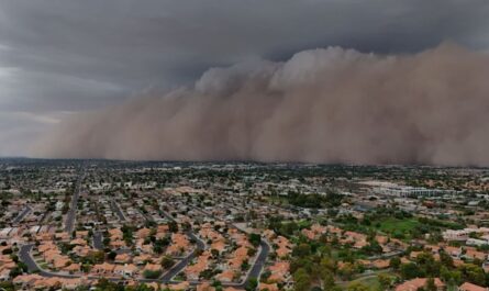
Satellite imagery captured on Wednesday afternoon revealed an extensive mass of clouds and precipitation streaming in from the south and southwest, where Mario was formerly classified as a tropical cyclone in the Eastern Pacific. Although rainfall is expected to remain scattered, certain communities, especially those in higher elevations, could receive as much as one to two inches of precipitation, while other regions may see less than one-tenth of an inch.
Rainfall and Flooding Risk Across the Region
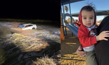
While a widespread flooding event is not predicted, meteorologists warn that repeated heavy downpours over the same locations could lead to brief flash flooding. The NOAA Weather Prediction Center has issued a Level 2 out of 4 flash flood threat for inland areas of Central and Southern California, including many northern and eastern suburbs of Los Angeles and mountainous terrain east of San Diego. Parts of western Arizona and southern Nevada are also included in the threat zone.
- The National Weather Service has issued Flood Watches affecting nearly 7 million residents, spanning from the Interstate 10 corridor northward to near Interstate 80.
- These alerts cover multiple desert and mountain communities but notably exclude downtown Los Angeles and San Diego.
- Rainfall amounts are expected to be variable, highlighting the localized nature of the precipitation.
Background on Tropical Storm Mario and Its Impact
Mario reached its peak intensity earlier this week while well off Mexico’s coast, with maximum sustained winds of 65 mph. However, the storm quickly weakened due to cooler sea-surface temperatures and drier air encountered during its movement northward.
Read Also: Louisiana Weather Update: Hot Days and Low Rain Chances Through Saturday
Because of lingering dry air over the Southwest and a generally weak monsoon season, meteorologists advise that rainfall from Mario’s remnants will not be sufficient to alleviate long-term drought conditions affecting the region.
“This should help out a little bit,” said FOX Weather Meteorologist Bob Van Dillen. “I don’t think it’s going to be enough to bust a drought.”
Temperature Changes and Weather Outlook
The influx of cloud cover and increased humidity will cause a noticeable dip in temperatures across Southern California. Forecast models indicate daytime highs will be 5 to 10 degrees below seasonal averages, with coastal areas experiencing temperatures in the 70s, inland valleys in the 80s, and desert communities seeing highs in the lower 90s.
By Friday, coastal areas are expected to dry out, while isolated showers and thunderstorms may persist in desert and interior Southwest locations, including around Las Vegas. Heading into the weekend, conditions will improve with sunnier skies and a warming trend typical for September.
- Coastal highs will climb back into the 80s.
- Inland temperatures are expected to return to the 90s.
- Desert communities will see temperatures exceeding 100 degrees once again.
For ongoing updates on this weather event, visit the full report on FOX Weather.
What Do These Weather Changes Mean for Residents?
Residents in affected areas should remain cautious of localized flooding, especially in mountainous and desert communities prone to brief but intense rainfall. While the rain does provide some moisture, it does not signal an end to persistent drought conditions. People should stay informed through local weather alerts and plan accordingly to stay safe during intermittent storms.
What do you think about this unseasonable rain from Tropical Storm Mario? Have you experienced any impacts from the showers or thunderstorms? Share your thoughts in the comments below!