 by
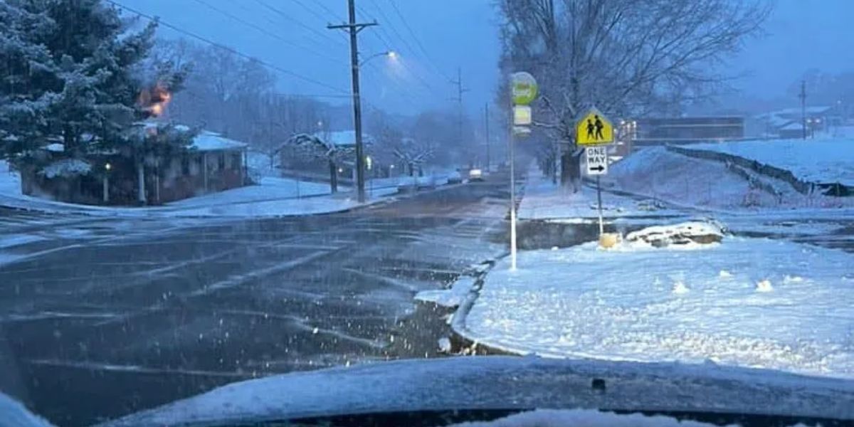
by Southeast Kentucky — Residents of Southeast Kentucky should prepare for light snow showers, gusty winds, and a sharp cooldown as the weekend approaches. While snowfall is expected to be limited, higher elevations along the Kentucky-Virginia border could see up to 2 inches, and slick spots are possible on Friday morning.
Thursday Night: Chance for Light Snow
Tonight brings a cold night with a 20% chance of light snow showers, mainly along the Northeast Tennessee and Southeast Kentucky state lines near the Tri-Cities region. With limited moisture available, any snowfall is expected to be light, producing only patchy coatings in most areas. Lows tonight are forecast to reach 32°, creating the potential for slippery roads in elevated areas.
Friday: Breezy with a Wind Chill
Friday will feature variably cloudy skies and gusty winds, making temperatures feel cooler than the actual high of 53°. Wind chill values may remain in the 40s throughout much of the day, especially in open or elevated areas. While conditions will not be as windy as Wednesday, residents should still exercise caution outdoors, particularly during the morning commute.
Saturday: Mild but Cloudy
Saturday will bring a seasonable afternoon with increasing clouds, and highs reaching 52°. The mix of sun and clouds will make for a mild day, providing a brief break before the next significant cold snap moves in Saturday night.
Saturday Night Into Sunday: Significant Cooldown
The next major system will bring a sharp cooldown starting Saturday night, with isolated snow showers possible as colder air pushes into the region. By Sunday morning, temperatures are expected to fall into the teens and 20s, with breezy winds making it feel even colder.
Throughout the day, temperatures will continue to drop, and wind chill values may reach the single digits, possibly dipping below zero in some areas by Sunday evening. Residents should prepare for dangerously cold conditions, particularly during outdoor activities.
Early Week: Freezing Mornings and Gradual Warm-Up
Monday morning will be freezing, with lows in the lower teens and some single-digit readings possible in northern areas. Highs Monday afternoon will struggle to reach the upper 30s, although plenty of sunshine will make for bright, if cold, conditions.
On Tuesday, lows will climb to the mid-20s, with afternoon highs in the mid-40s under a variably cloudy sky. By Wednesday, temperatures are expected to reach the mid-50s, along with a limited chance of a few showers, signaling a gradual return to milder conditions.
Looking Ahead: Thursday Rain System
The next system moving into the region is projected to be a rainmaker for Thursday, according to forecasters. Details remain limited, but residents are advised to stay updated with Storm Team 6 for further information on rainfall totals, wind, and timing.
Are You Ready for the Cold?
How are you preparing for Sunday’s Arctic chill and isolated snow showers? Share your winter preparations, snow observations, and local conditions in the comments below!