 by
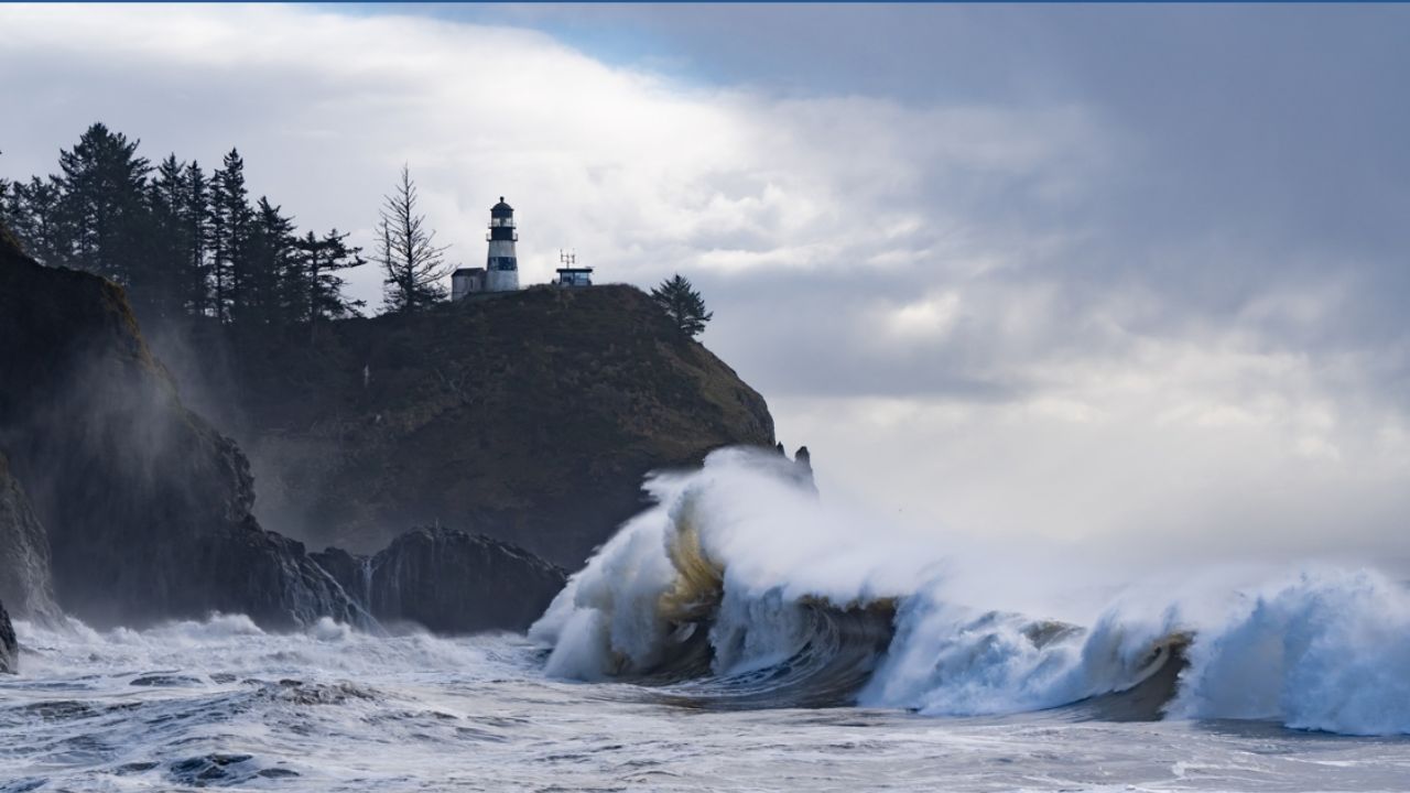
by Seattle, WA – Powerful gale-force winds and hazardous marine conditions are expected to impact the offshore waters from Northern California to Washington through Thursday. Mariners face rapidly building seas, with waves reaching up to 20 feet, creating dangerous conditions along one of the nation’s busiest coastlines.
The National Weather Service’s Ocean Prediction Center has issued gale warnings for multiple offshore zones with wind gusts potentially reaching 30 to 40 knots. This weather system will bring significant challenges to commercial and recreational vessels navigating these waters in the coming days.
The Rising Danger in Offshore Waters
From Point St. George to Point Arena, located 60 to 250 nautical miles offshore, strong southerly winds will shift sharply to northwesterly gusts by Wednesday afternoon. The seas are forecasted to climb quickly, with wave heights between 14 and 20 feet by Thursday. Mariners should prepare for:
- Abrupt wind shifts creating difficult navigation conditions
- Steep, hazardous waves impacting vessel stability
- Heightened risk for small craft and offshore operations
Severe Conditions Extending to Oregon and Washington
Farther north, from Florence, Oregon to Cape Flattery, Washington, the offshore waters are expected to experience the toughest impacts. Winds will climb dramatically on Wednesday, producing gusts of 30 to 40 knots, while seas build from 10 feet earlier in the week to an imposing 21 feet by Thursday. This will make marine travel extremely perilous for several days, with additional swells expected to maintain the hazardous environment into the weekend.
Ongoing Hazards and Recommendations for Mariners
Although winds are forecast to ease somewhat late Thursday into Friday, the seas will remain elevated, with wave heights in the 11 to 15 foot range. The National Weather Service warns that:
- Small craft and commercial vessels will remain vulnerable to rough seas
- Additional gusty southwest flow will return by Sunday due to a new frontal system
- Continuous monitoring of updated marine forecasts is critical
Read Also: Pittsburgh Weather: Temperatures Climb Each Day Through Friday
“Mariners are urged to avoid offshore travel during peak wind and wave periods to ensure safety,” advises the National Weather Service Ocean Prediction Center.
For the most current information and detailed forecasts, vessels should regularly consult resources such as the Country Herald’s marine weather updates.
Stay Safe and Informed
As gale warnings persist across the West Coast’s offshore waters, the maritime community must prioritize safety and preparation. With seas reaching up to 20 feet and sustaining high winds, the risk of accidents and marine distress increases significantly.
What do you think about this marine weather forecast? Share your thoughts and safety tips in the comments below!